

If you don't like the recent Florida chill, warmer air is coming for late week!

ORLANDO, Fl -
Well, the weather here in Central Florida has really taken a colder turn over the last 24 hours. While some do like the "seasonal" feel of a good chill, many Floridians shutter at the mention of cold air, complaining unitl the next surge of warmer air arrives. Those complaints will certainly be heard loud and clear through about midweek, after that, silence, as warmer winds take over! Another cool front will move through on Wednesday, this system will only drop temps just a bit and will be short lived. High pressure will be in control by Thursday-Sunday. The high will move out into the Atlantic late week and provide the region with more of a Southerly wind flow. This will attract warmer air into Florida. Expect high temps to move back to the 80s for highs during this time and lows much milder in the 60s.
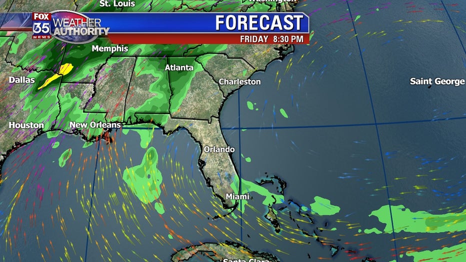
The long range European forecast model shows the developing Southerly winds by Friday. It's at this time that some extra mositure also gets pushed our way and a few scattered showers could result. Coverage looks fairly low, around 20% or so. Unlikely that Mother Nature "rains on your parade" next weekend.