

Front brings heat relief on Thursday but rain chances remain

Weather Forecast: April 16, 2020
FOX 35 meteorologist Kristin Giannas has your Central Florida forecast.
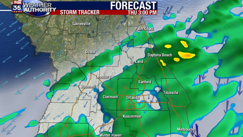
Orlando, FL - Thursday won't see heat that Wednesday brought, but it is possibly to have another round of rain.
While the front will cool us down a good 20 degrees from highs in the 90s, rain chances will remain as the front takes a position just south of Orlando during the day on Thursday. Breezy winds will blow from the north Thursday and this will help to develop clouds and shower chances for East Central Florida through the day.
North Central Florida will see the possibility of clearing skies through the noon hour with mostly sunny conditions developing.
| DOWNLOAD THE FOX 35 WEATHER APP HERE |
Area highs Thursday will be stuck in the 70s, though a few locations could see the 60s. How's that for cooler change? Keep in mind, if cloud cover around Orlando remains thick all day and rain stays consistent, the 60s might be a good call for parts of East Central Florida as well. Either way, welcome change and heat relief, rain or not!
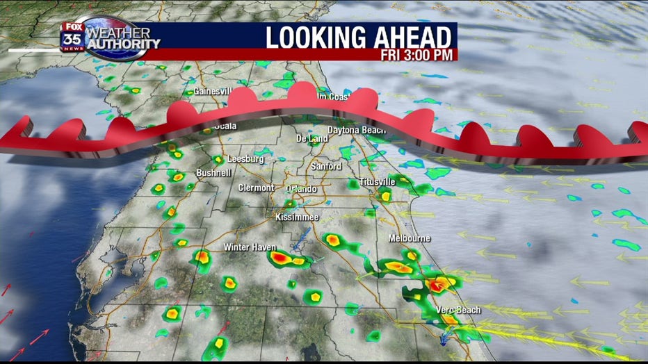
The front will then head to South Florida, only to return as a warm front come Friday. This will set up a southeasterly airflow and a return of moisture to Central Florida. Rain chances will rise yet again by Friday afternoon. Enough energy might be present during this time to spark a few stronger storms, featuring gusty winds and heavy downpours.
Rain chances will remain plump over the weekend as well with the approach of yet another cold front, stay tuned for coming details on this one!