Maps: Tropical Storm Fernand, Invest 99L

Tracking the Tropics: August 24, 2025
Meteorologist T.J. Springer has the latest on the tropics. Hurricane Season runs now through the end of November. Download the FOX Local App for breaking news and weather alerts.
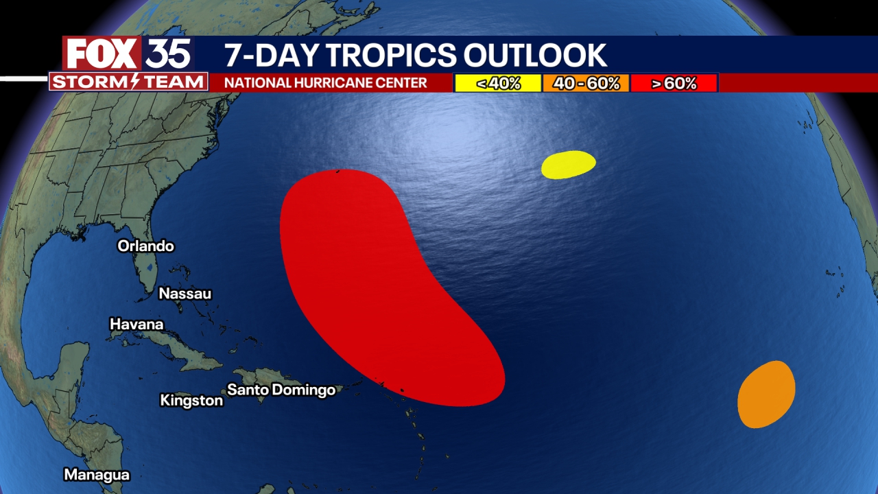
The National Hurricane Center is monitoring Tropical Storm Fernand, which is expected to stay out in the open ocean, and Invest 99L, which has the chance of becoming a tropical depression.
Here is the latest on both.
Tropical Storm Fernand

Tropical Storm Fernand will move past Bermuda towards the open Atlantic Ocean, the National Hurricane Center said. Some strengthening is possible over the next 48 hours, though it should begin to weaken by Tuesday, the NHC said.
In its 5 p.m. Sunday update, Tropical Storm Fernand was 291 miles east-southwest of Bermuda, and moving north-northeast at 15 mph. It has sustained winds of 40 mph (needs to be at least 74 to be a Category 1 hurricane). Tropical-storm-force winds extend outward 105 miles from the center.

Invest 99L

A tropical wave known as Invest 99L continues to produce showers and thunderstorms east of the Windward Islands. Satellite data indicates that it does not have a surface circulation, the NHC said. It could still become a tropical depression within the next 48 hours.
It's expected to pass through the Windward and Leeward Islands Sunday night and early Monday morning, the NHC said. Regardless, both islands should expect to see strong winds and heavy rain.
"The system is expected to reach the central Caribbean Sea on Tuesday, where conditions are forecast to become less favorable for additional development," the NHC said.
The Source: The information is from the National Hurricane Center.

