

Major ups, major downs with Central Florida weather pattern

Weather Forecast: January 8, 2020
FOX 35 Chief Meteorologist Glenn Richards gives you the latest on the weather in Central Florida.
ORLANDO - Our crazy weather roller coaster ride continues! After a chilly day on Wednesday, the winds will veer and the warming begins! I anticipate temperatures to climb to near 80 late this week with highs in the 80's this weekend.
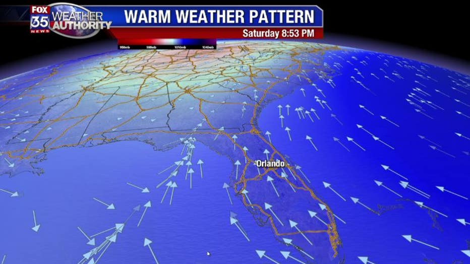
The wind direction by Saturday evening will be from the south as a warm front forms to our north. This will keep the next cold front at bay and keep the mild weather pattern going into next week.
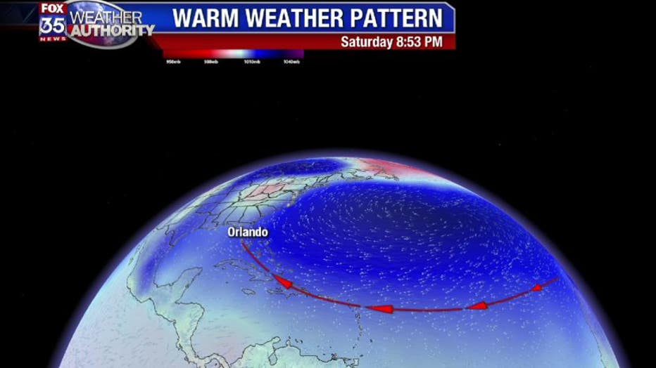
The warming will be substantial as our warmer pattern will be originating from far to the east of Florida. The large high pressure center will be HUGE and will break up the next two cold fronts...don't even think about it! With temps in the 80's for most of next week we will also stay mild overnight with readings in the 60's...comfy.
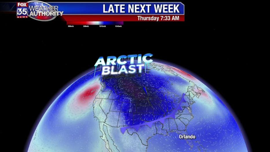
Long term...we may pay the price. Our longer range model shows an arctic blast forming late next week. This will be the coldest airmass so far for North America with wind chills approaching 45 degrees below zero in the far north. That will bring a stronger cold front towards Florida with the potential for our coldest air too....stay tuned!