

Florida temps are up, then come crashing down!
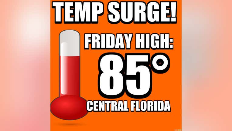
ORLANDO, Fl - Here we go again! The temperature rollercoaster continues this week with a sharp rise in temperatures expected today into Friday. An approaching cold front will swing our local winds to a warm, Southerly direction. This will force area highs and lows to move up to very warm levels for early January. Friday afternoon, highs swell up into the mid-80s in many Central Florida locations, humidity will also rise a bit. Friday night looks very mild, most locations bottom out closer to 70 for wake up temps come Saturday morning. Saturday brings increased clouds and sharply rising rain chances as the cold front finally moves into the Florida Peninsula. As of right now, the rain will come mainly in the form of showers with the risk of thunderstorms remaining North of the area, as low pressure moves well to the North. Behind the departing front Saturday night, gusty Northerly winds will deliver some colder air, lows tumble down into the 30s and 40s across the Fox 35 viewing area. Factor in the breezes early Sunday morning and temps will feel even colder! Highs Sunday, despite full sunshine, will struggle to hit 60 degrees.