

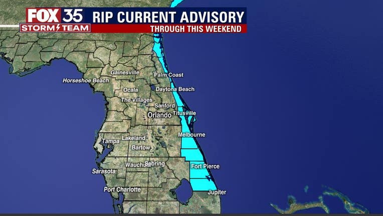
Hurricane Larry brings rip current risk to beaches this weekend
ORLANDO, Fla. - In the wake of what was Tropical Storm Mindy, a front remains in place just North of the viewing area.
While areas across the deep South are rather pleasant weather-wise behind the front, south of the boundary remains warm and humid.
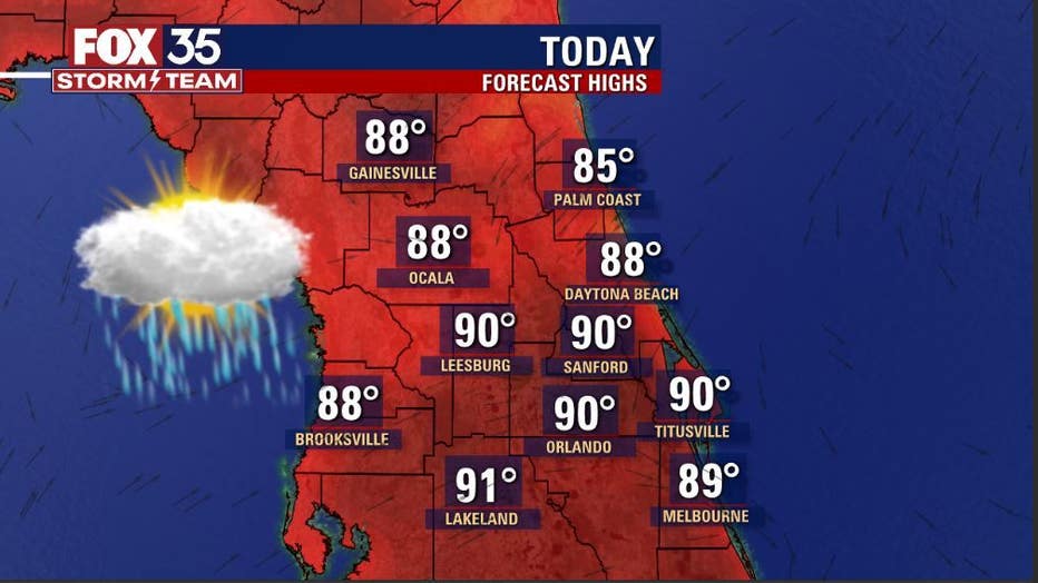
Area highs will hit in the upper 80s to lower 90s, humidity remains high. Rain chances will return today through Sunday.
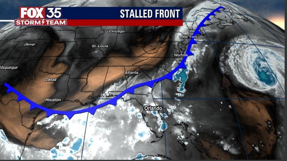
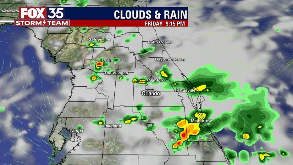
Most of the modeling points to rain development after 2 pm each day but don't rule out an isolated shower or storm before that. Coverage continues in the 50-60% range. Heavy pockets of rain and a few lightning strikes can be anticipated and outside of any stronger storms, breezes remain on the lighter side.
WEATHER ALERTS: Download the FOX 35 Storm Team Weather app for live radar, severe weather alerts, and daily forecast reports on your phone
Out in the Atlantic, we're still feeling the effects of departing Hurricane Larry.
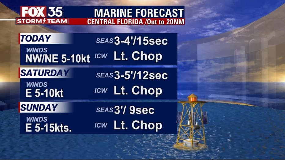
Ocean swell will funnel into our beaches through Sunday and while diminishing quite a bit, the threat of rip currents will still plague all of the coastal counties.
RELATED: How to survive a rip current: Experts explain
If you do decide to take a dip in the ocean, do so near an open lifeguard stand or don't go in at all, stay safe out there! Our 3-day marine forecast still shows elevated seas but longer term, conditions will gradually improve heading into next week.
Watch FOX 35 News for the latest weather updates.