

Freezing cold 'feels like' temperatures in the teens for parts of Central Florida on Christmas Eve

Weather Forecast: Dec. 21, 2022
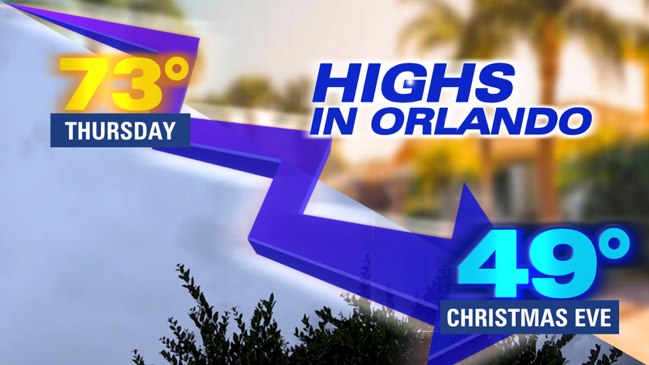
Orlando and Central Florida will see a drastic change in the weather over the next 48 hours. By late Friday and into Saturday, the region will experience some of the coldest weather of the season and it will be the coldest Christmas Eve recorded since the 1980s.
ORLANDO, Fla. - Tonight's low: 59 degrees | Today's high: 73 degrees | Rain: Afternoon showers possible with 30% coverage
Main weather concerns: No main weather concerns on Thursday but get ready for a plunge in temperatures.
BEACHES: The moderate rip current risk continues today all along our entire east coast. Surf is around 2-3' in NE swell.Temperatures beach side reach the upper 60s North of the Cape, lower 70s to the South with water temps near 68.
THEME PARKS: Theme parks will see highs near 75 on Thursday afternoon. Dry conditions are expected by late morning with some rain possible in the afternoon.
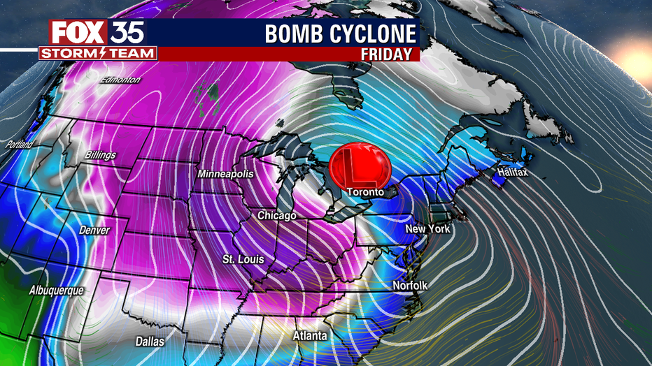
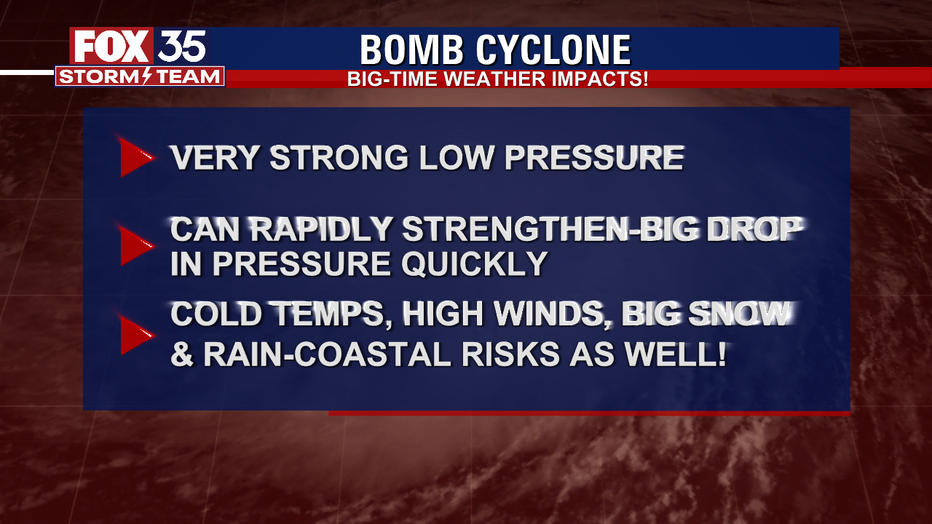
OUTLOOK: An Arctic cold front will send very cold air into Central Florida by overnight Friday into Saturday/Christmas Eve morning. The area of very strong low pressures is sometimes referred to as a "bomb cyclone." Freeze warnings are looking likely during the holiday weekend and FOX 35 WEATHER IMPACT DAYS are being issued for Saturday and Sunday to account for these frigid changes.
RELATED: Winter solstice 2022: What is it and when is it happening?
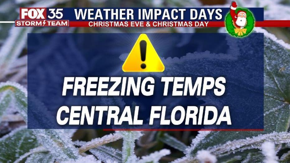
Wake up temps Christmas Eve morning will be down in the 20s and 30s all across the viewing area, highs only rise into the 40s and low 50s on Saturday. Christmas Day brings similar temps with freeze warnings looking likely then as well.
RELATED: Potential 'bomb cyclone' threatens holiday travel plans in and out of Florida
Wind-chills or "feels like" temps will range from the teens to 20s during the morning hours. Consider your pipes, plants and pets during this time. Skies will stay dry through the period.