

Weekly Weather Watch - Sunday November 3
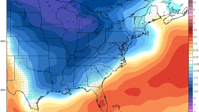
Orlando, Florida - Temperatures across Central Florida this morning were mainly cool with low humidity (except Brevard county), but that will change as we go through this upcoming week. A high consensus of computer forecast guidance shows temperatures this week will be mainly above normal here, with the cooler air trapped well northwest. Winds this week will be off the Atlantic, increasing our humidity as well.
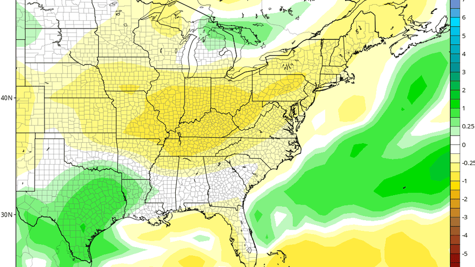
Rainfall this week looks mixed. Normally, November is a dry month across the area, but there's a large swath of above-normal rainfall along the Flagler, Volusia and Brevard county coasts and just offshore. I wouldn't be surprised to see 1-2+" of rain this week along and east of the St. Johns River.
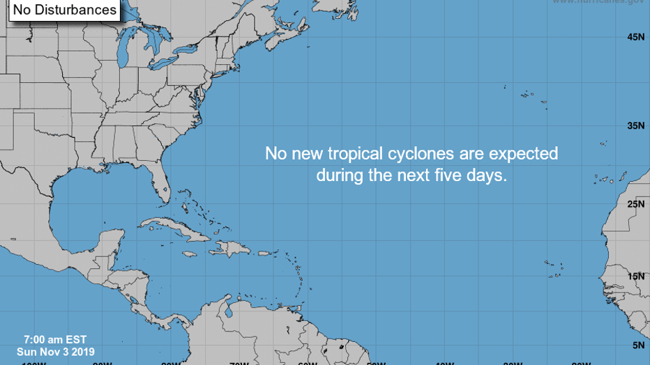
November is typically a quiet month for the tropical Atlantic Ocean. The National Hurricane Center five day outlook shows no new areas of possible tropical development through the next five days.
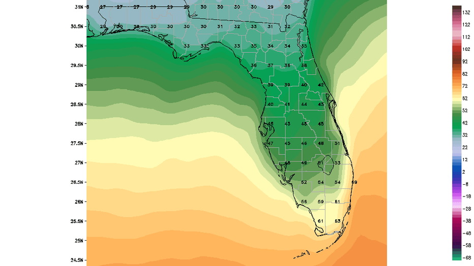
Finally, while this week shows temperatures here in Florida primarily above-normal, next week may see a strong cold front. This image shows the GFS model's forecast low temperatures for next Wednesday morning (November 13). If this computer forecast holds, widespread 40s would be across most of Central Florida, with 30s in North Central Florida. Frost could be an issue in Alachua and Marion counties. We'll keep you updated.