

Weekly Weather Watch - Sunday November 24
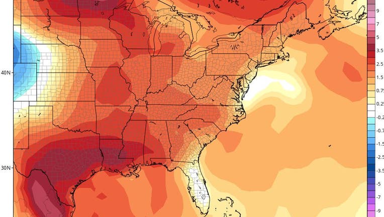
Orlando, Florida - A cool front passed through Central Florida early Sunday morning. We will continue with below-normal temperatures through midday Tuesday. Low temperatures both Monday and Tuesday mornings will be in the 40s for many. By Wednesday and continuing through Thanksgiving Day into next weekend, temperatures look to be near or above normal with ample sunshine.
After Sunday morning's pre-dawn rain showers, our rain chances for the rest of this week are slim and none. Our next significant chance of rain may be pushed back to next Sunday or the following week. Morning fog will likely be an issue later this week.
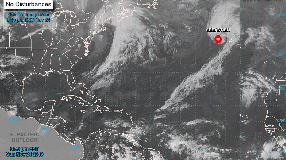
November is typically a quiet month in the tropical Atlantic. However, Tropical Storm Sebastien has been active in the Central Atlantic this past week. As of late Sunday, Sebastien is barely a tropical system, as cold, dry air envelopes the system. It will become extratropical by Monday or Tuesday at the latest. There are no other areas of concern in the Atlantic basin for tropical development. Hurricane season ends November 30.
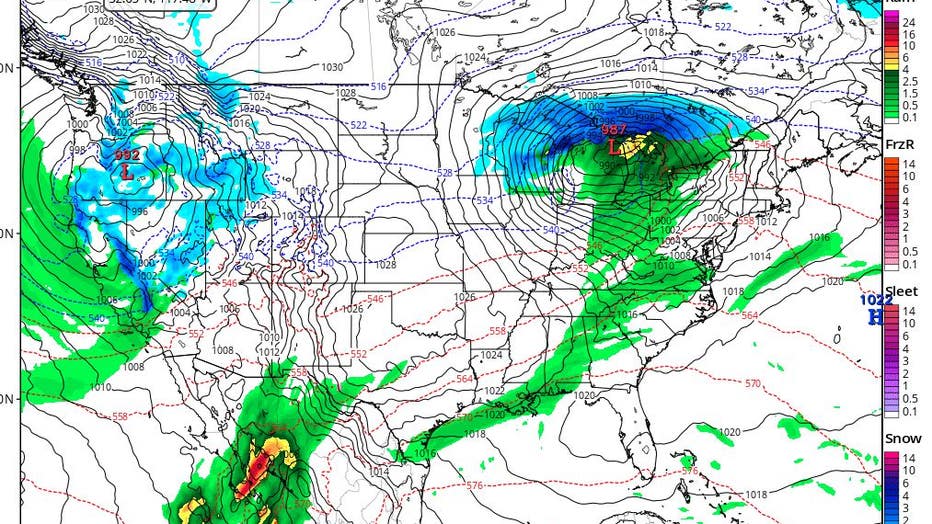
Finally, this week is Thanksgiving week, and the Wednesday before Thanksgiving is typically one of the busiest travel days of the year. The above map shows the GFS model forecast for Wednesday, November 27. A large storm system is poised across the mid-section of the United States, stretching from Texas and Louisiana north into the Great Lakes. Another storm system is pushing into the Pacific Northwest. If this forecast holds, these would be the two biggest weather impact areas for travel nationwide on Wednesday.