

Storm threat late weekend into Monday
Orlando, Fl - Our next line of severe storms will be approaching North Central Florida late this weekend and early Monday. Very similar to what we had this past week with some isolated wind damage and a few tornado warnings.
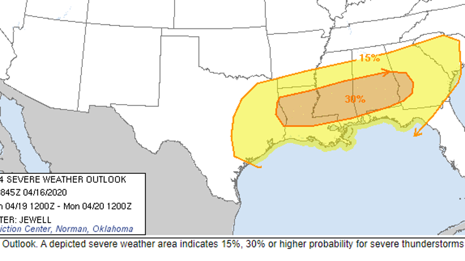
The Storm Prediction Center modeling is showing a 15% chance for severe storms from just northwest of Gainesville to Tallahassee.
This line of storms would be weakening early on Monday morning as it is approaching Dixie county. Some heavy downpours and possible damaging wind gusts will be the main threat. However, we cannot rule out the slight risk of an isolated EF-0 to EF-1 tornado.
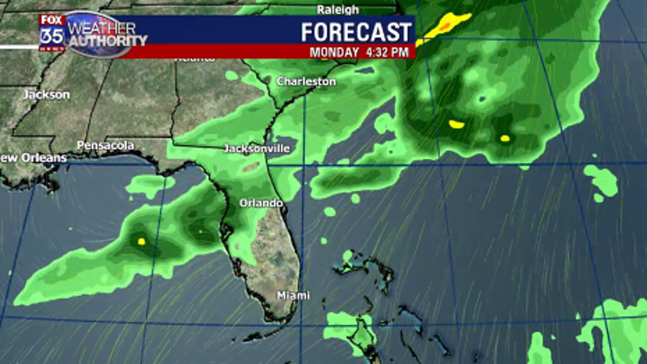
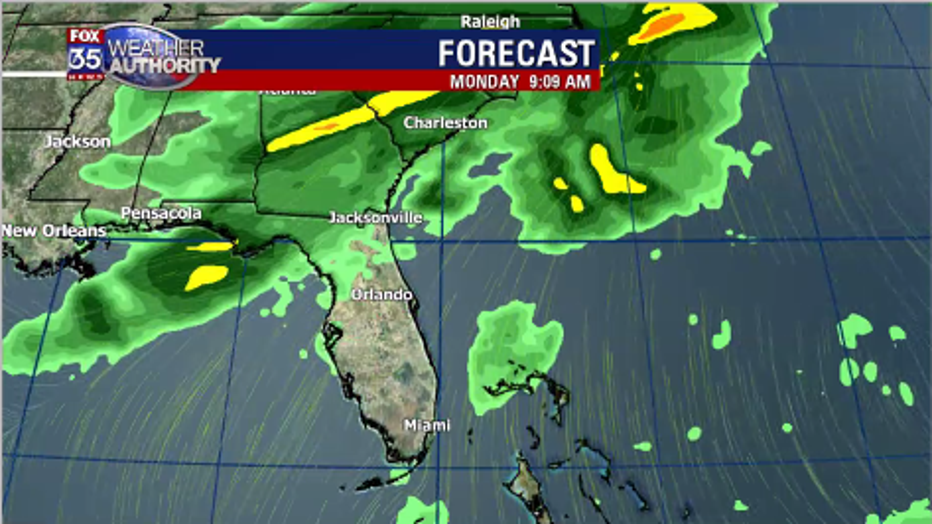
By late afternoon the line of storms will transition into a line of scattered showers and a possible thunderstorm through the day on Monday. Be sure to use stay updated online here at Fox35orlando.com and also by using our Fox35 Weather App for live radar and storm tracking.