Orlando weather: Stormy week ahead for Central Florida

Orlando Weather Forecast: May 21, 2023
FOX 35 meteorologist Ian Cassette has a look at your weather forecast for Orlando and Central Florida.
Today's high: 90 degrees
Tonight's low: 74 degrees
Main weather concerns:
Another humid day with stormy afternoon weather across Central Florida. Highs will climb well into the 80s in most areas with some spots in the 90s to the west. Storm chances should start popping up mostly after 2 PM today. Heavy rain, lightning and gusty winds will accompany the stronger storms. Better rain chances will once again be found away from the coast. We could see rain chances carry past sunset today.
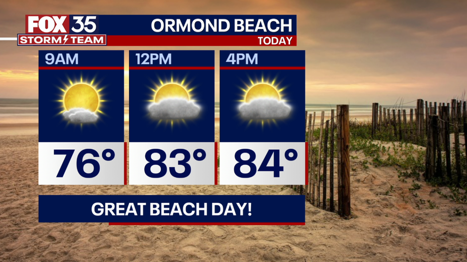
BEACHES:
Lots of sunshine for the beaches today with only a brief window for rain early in the afternoon. Surf will reach 3 feet today with a moderate rip current risk this weekend so be sure to swim near a lifeguard tower. An onshore wind will keep the weather fair through the afternoon.
THEME PARKS:
Another hot and humid day at the parks. After 2 p.m. scattered storms could pop off with coverage at 50%. Heavy rain and lightning will be likely in the stronger storms. Keep an eye on the sky and when you hear thunder roar, head indoors.

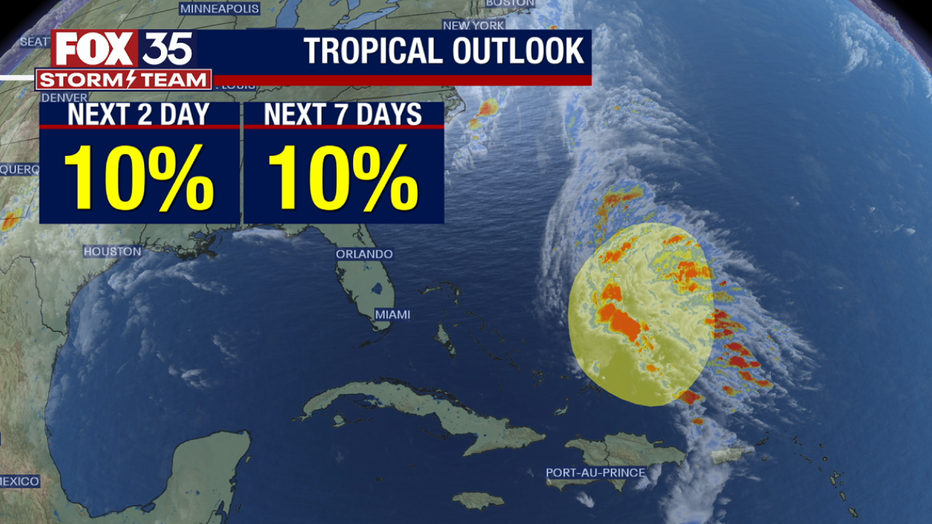
IN THE TROPICS:
The NHC has highlighted an area of storms east of the Bahamas for potential tropical development. It is only given a 10% of development as high winds aloft should tear this system apart. However, it is a reminder that the tropics will soon come alive as Atlantic waters continue to warm. Hurricane season officially begins June 1st.
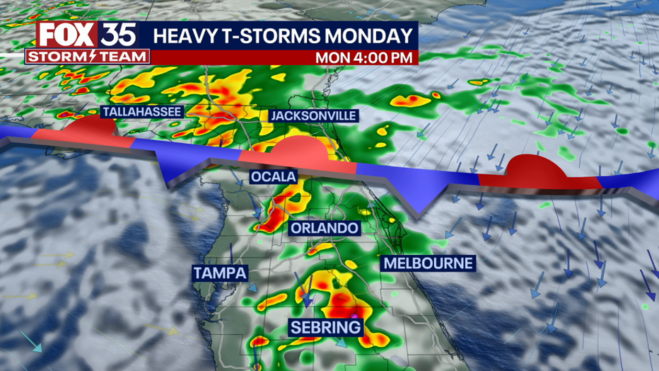
OUTLOOK:
A weak front will sink south over Florida tonight into Monday. As this front stalls out over us, it will allow for even higher rain chances to begin the week (Monday & Tuesday). We also could see an isolated severe storm or two Monday afternoon thanks to this front. Damaging winds will be the main risk. Daily storm chances will continue all week with highs in the 80s. Watch out for localized flooding as the week goes on! Stay tuned and depend on the FOX 35 Storm team!