

Tracking Invest 94L: Tropical storm development isn't off the table, NHC says

Tracking the Tropics: July 12, 2023
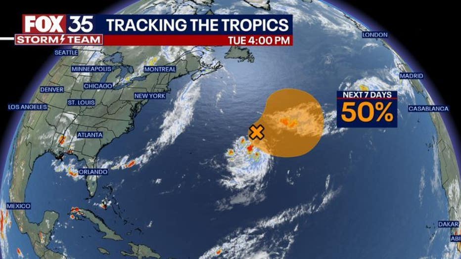
The FOX 35 Storm Team is tracking a system in the Atlantic Ocean.
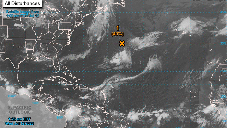
ORLANDO, Fla. - The National Hurricane Center is monitoring a disturbance in the Atlantic that has a chance of developing over the next week.
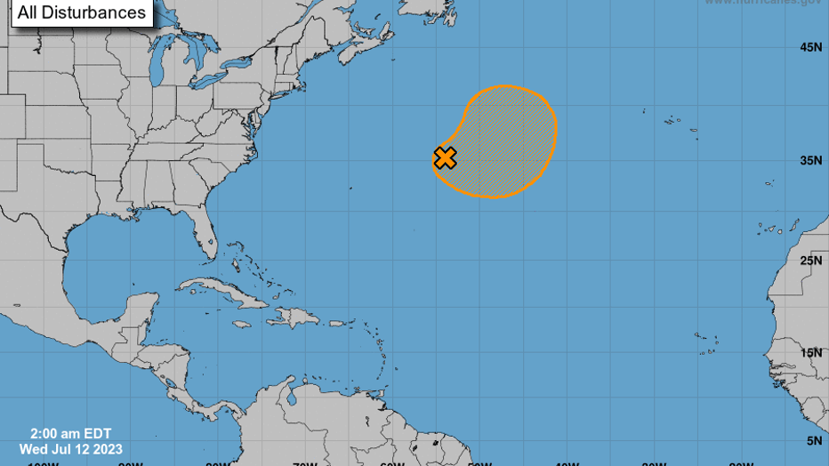
The trough of low pressure is located over 500 miles east-northeast of Bermuda, the NHC said in its latest update Wednesday morning. It's producing disorganized showers and thunderstorms over there, and could develop further over the next few days.
There's a 40% chance the storm forms in the next two days and a 50% chance it does in the next week.
A subtropical or tropical depression or storm could form during the next few days as the storm continues to move east.
The system, called Invest 94L, should turn toward the north, where it will make its way into cooler waters – which limits additional development.
Should the storm develop into a tropical storm, it would be named Don, the fourth named storm of the 2023 Atlantic hurricane season.
This storm will not be a threat to the U.S., the FOX 35 Storm Team said at this time.