Central Florida sees one of coldest Christmas days on record; when warmer weather returns

Weather Forecast: Dec. 25, 2022
FOX 35 meteorologist Ian Cassette has a look at the Christmas Day forecast for Orlando and Central Florida.
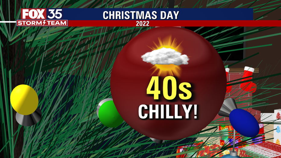
ORLANDO, Fla. - Today's high: 48 degrees
Tonight's low: 34 degrees
Main weather concerns:
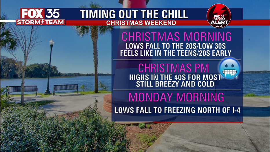
The cold air continues on this Christmas Sunday. After another frigid morning, highs will only warm into the 40s for most today with a few spots near 50 along the Space Coast. Clouds will be on the increasing helping to prevent further warming. Another freeze is likely by tonight north of Orlando and away from the coast. Freeze Warnings are in effect again.

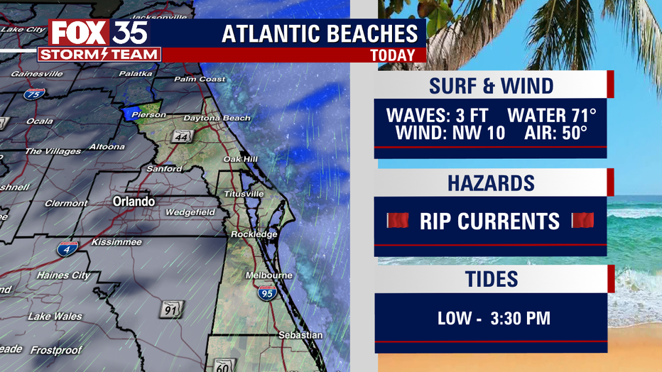
BEACHES:
While cold temperatures will likely deter many from getting in the water, beach conditions will be rough due to astronomically high tides through this weekend. There continues to be a high rip current risk. Highs only warm to the mid 40s north to near 50 along the Space Coast.
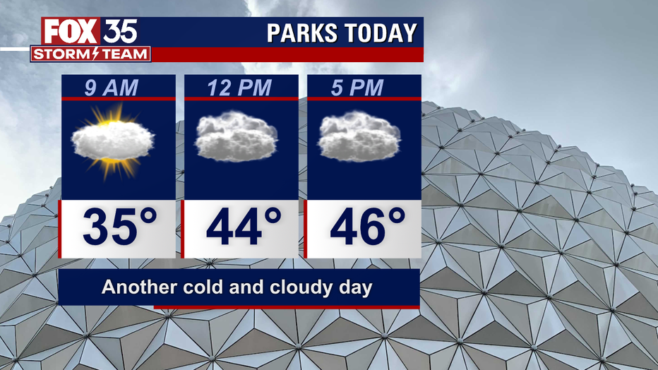
THEME PARKS:
Another cool and cloudy afternoon with highs near 48. Don't forget the jacket!
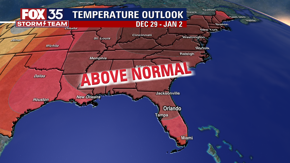
OUTLOOK:
The chilly weather is expected to last into Monday with lows back below freezing for areas north of I-4 Monday morning. Highs return to the 50s by the afternoon. A steady warming trend will return in the final week of 2022 with highs back in the 60s Tuesday and 70s by Wednesday. In fact, we could see highs near 80 by Friday! Rain chances remain low with only as slight bump by New Years weekend.