

Central Florida remains hot and dry before the rain returns later this week

Orlando, FL - No doubt about it, the weather here in Central Florida has been great! Rain chances have checked out, humidity dropping and sunshine out in full force.
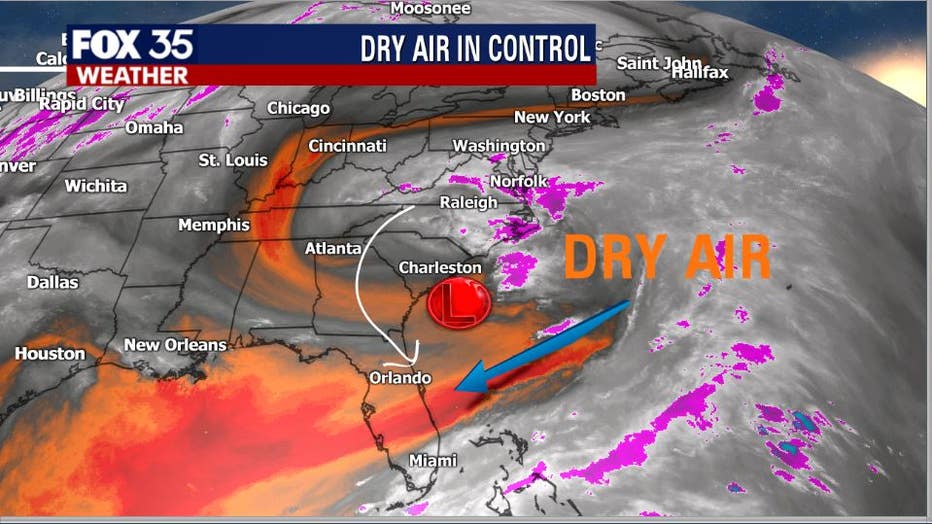
Low pressure over the Carolinas has been providing the Sunshine State with plenty of dry air, drawing the air mass out of the lower Great Lakes and forcing it Southbound. The result has been a not-so-typical mid-June run of Florida weather.
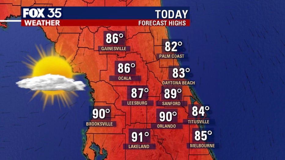
After a beautiful start to our Tuesday, afternoon highs will make a move into the mid-80s over North Central areas, lower 80s along the Atlantic beaches and upper 80s to near 90 over the East Central interior. Sunshine will dominate the skies yet again today while rain chances remain at zero.
If you have the day off, perhaps consider visiting the coast. Weather there should be near perfect for soaking up a few rays but, don't forget that sunblock!

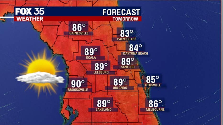
While we're currently nice and dry across Florida, that will be changing soon!
Tropical moisture is loading across the Bahamas and Cuba at this time. As our region begins to lose the influence of the Atlantic low-pressure area, high pressure will expand in off the ocean and across Florida. The high will tap the mentioned tropical air mass, forcing it North up the Florida Peninsula. This will result in a return of tropical humidity and rising rain chances of at least 50% beginning Thursday through Sunday.
Hey, the dry-out was great while it lasted!