

After wild weather Monday, more storms expected later this week

Weather Forecast: April 20, 2020
FOX 35 Chief Meteorologist Glenn Richards gives you the latest on the weather in Central Florida.
LAKE MARY, Fla. - The line of storms that blew through on Monday produced confirmed tornadoes in both Marion and Seminole counties. There was a four-hour period where all the ingredients came together to enhance the super-cell storms and produce the tornadoes.
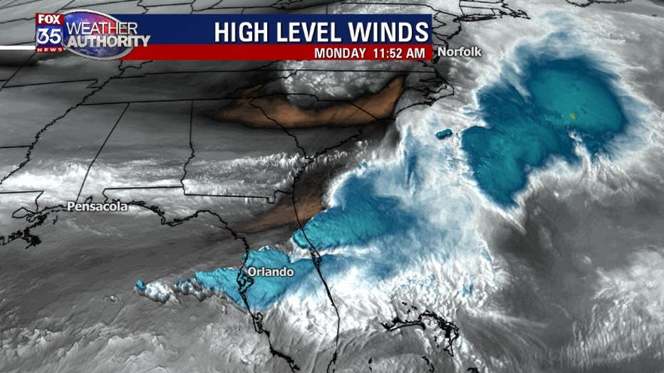
The powerful jet stream winds punched into the line of storms, starting at 9:30 a.m. and continued until 1:30 p.m. This "punch" provided the energy and the lifting mechanism to produce the tornadic environment. This also enabled the storms to move quickly to the east and hold together. The storm that produced the tornado in Seminole county traveled for nearly an hour over 37 miles, while producing an intemittent tornado.
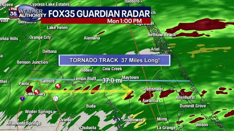
The tornado lifespan stretched from Lake Mary, in Seminole County, to Haulover Canal, in Brevard county.
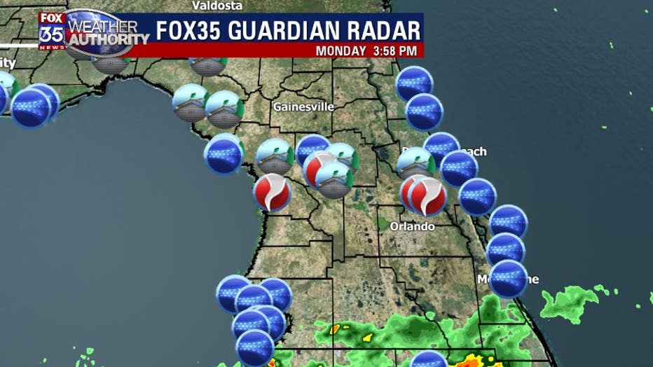
Here is a breakdown of all of the storm reports of wind/damage and tornadoes. Most of central Florida picked up a quick one-quarter inch of rainfall due to the fast movement.
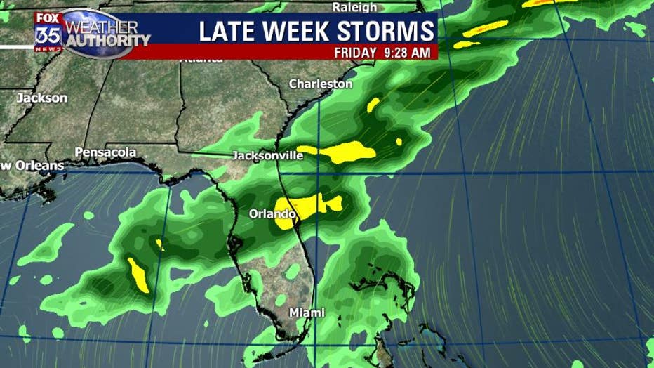
Later this week, we will have another cold front move into central Florida with our next batch of rain and possible storms. Right now, it appears that the jetstream will not be able to "punch" the line, but some heavy downpours are expected.