

Orlando weather: Central Florida could see record-breaking heat this week

Orlando Weather Forecast: Feb. 20, 2023
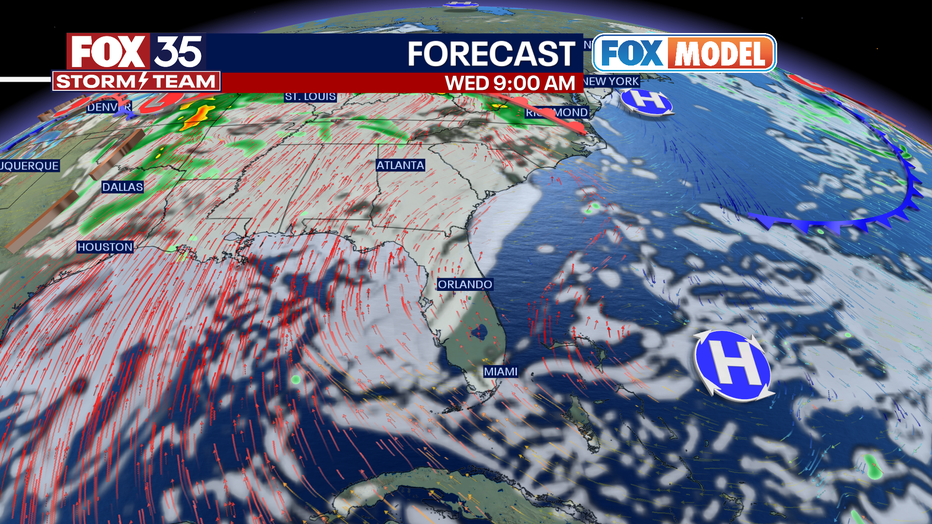
Orlando and Central Florida will see a quiet weather pattern as far as rain is concerned but we could see record-high temperatures. Patchy fog is possible in the overnight hours.
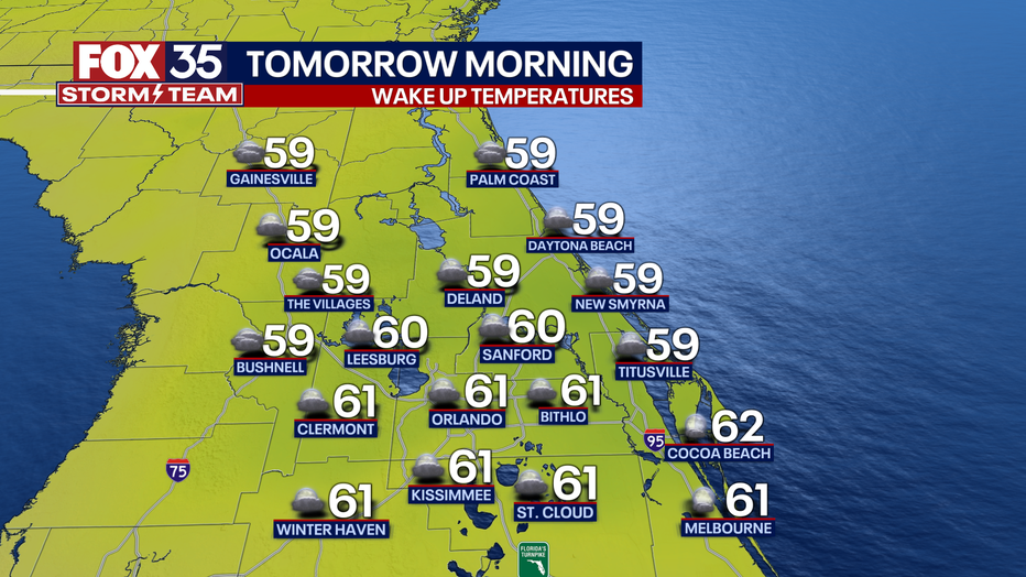
ORLANDO, Fla. - Tonight's low: 61 degrees | Tomorrow's high: 84 degrees
Main weather concerns: We have another toasty forecast in store on Tuesday across Central Florida. Afternoon highs will again reach the low-80s from the Orlando metro to our east coast beaches. The west side of the Florida peninsula will reach the upper-70s. Mix of sun and clouds with winds out of the west at 5-10 mph.
BEACHES: A beautiful day at the beaches! A high rip current risk does continue this afternoon so be careful if you plan on getting into the water! Highs warm to the upper 70s/ low-80s with just a few clouds.
THEME PARKS: A nice day for the parks with comfortable weather this afternoon and plenty of sunshine. Highs warm to near 83 degrees with a high UV Index. Don't forget to reapply sunscreen. Skies remain dry this afternoon.
OUTLOOK: We have a warm and dry forecast this week in Central Florida. A southerly flow will bring record heat by midweek with potential for 90 degrees. High pressure will dominate this week and allow for likely record-breaking heat in Florida and across the Southeast.
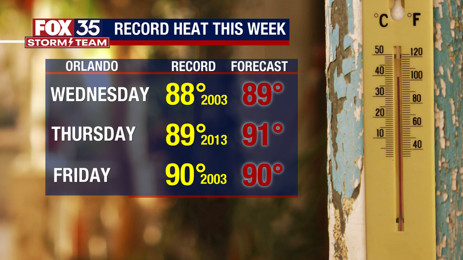
We could see three daily records fall Wednesday through Friday with afternoon highs ranging from 90 to 91 degrees.
Make sure to stay hydrated this week and depend on the FOX 35 Storm Team to keep you informed on the heat.