

NHC tracking Tropical Storm Fernand, another disturbance in the Atlantic

Tracking the Tropics: August 23, 2025
Here's the latest update on the tropics. Meteorologist T.J. Springer has an update. Hurricane Season runs now through the end of November. Download the FOX Local App for breaking weather news and severe weather alerts.
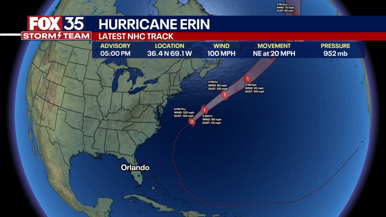
The National Hurricane Center is monitoring a tropical storm and a disturbance in the Atlantic Ocean. Hurricane Erin officially became post-tropical on Saturday, the NHC said. None of these systems are expected to directly impact Florida or the United States.
CLICK HERE TO DOWNLOAD THE FOX LOCAL APP
Tropical Storm Fernand becomes 6th storm of Atlantic Hurricane Season
Tropical Storm Fernand, previously known as Invest 90, was about 405 miles south-southeast of Bermuda and moving north at 15 mph, according to the NHC's 5 p.m. update. It has sustained winds of 40 mph.
"A north- northeastward motion at a gradually increasing forward speed is anticipated during the next couple of days, followed by a turn to the northeast. On the forecast track, Fernand should move well east of Bermuda and across the open waters of the subtropical North Atlantic," the NHC said.
Fernand is expected to strengthen a little bit over the next 48 hours, the NHC said, and could be near hurricane strength on Monday. It is then expected to weaken on Tuesday, the NHC said.
Disturbance east of the Windward Islands
The NHC is tracking a disturbance in the southern Atlantic Ocean, near the Windward Islands. Showers and thunderstorms continue to be disorganized. However, some tropical development is possible over the next few days, the NHC said.
Heavy rainfall and gusty winds are possible across portions of the Windward Islands, the NHC said. However, by next week, the system is expected to move into the central Caribbean where conditions are not favorable for tropical development.
Right now, chances of development are low.
The Source: The National Hurricane Center and the FOX 35 Storm Team.