

Near-record heat; high rip current risk at beaches

We Love Florida Forecast: February 23, 2022
FOX 35 Storm Team Chief Meteorologist Jayme King has the forecast.
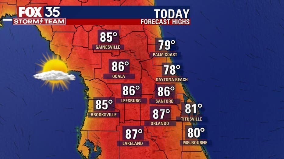
ORLANDO, Fla. - High pressure remains in control of our local Central Florida!
Conditions are dry and temperatures continue rising across the region, at times approaching record-high territory. Expect widespread mid-upper 80s inland, closer to 80 along the beachfront.
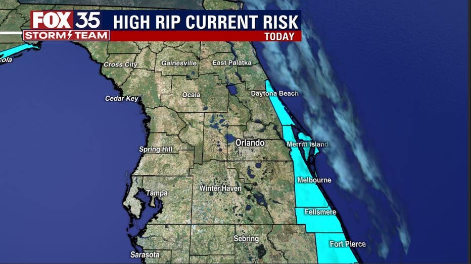
Speaking of beaches, the weather looks great to log some time on the sand. While water temps are still in seasonal chill mode, if you do venture into the surf, do know we've got an elevated risk for rip current activity today at all Atlantic beaches.
For my fellow surfers, surf looks pretty fun overall as our current east swell continues. Winds are light and variable early this morning with glassy conditions likely with a little p.m. texture as light southeast flow develops in the 5-10 mph range.
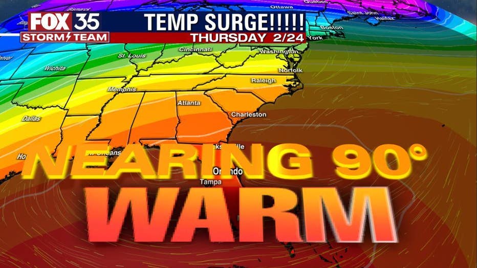
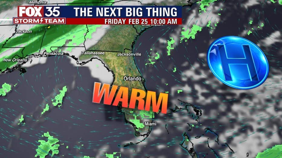
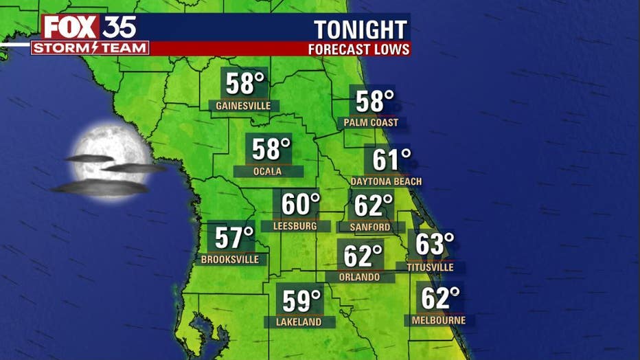
Tonight, lows remain quite mild with a little patchy fog developing late tonight. The coming days bring area highs into record territory as high pressure keeps a cooling front to our north. Many areas inland could flirt briefly with the 90-degree mark as the heat machine gears up!
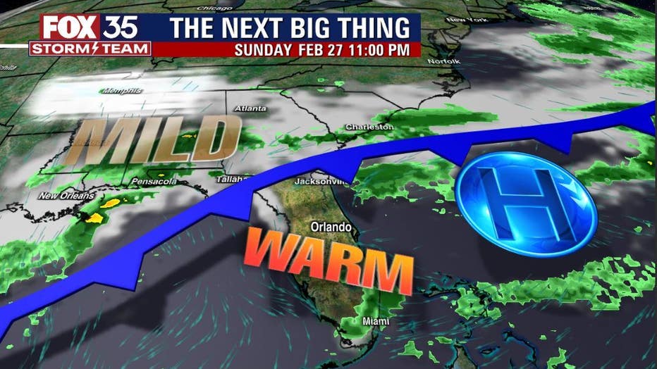
Some of the longer-range models drape the cold front across Central Florida by early next week with a return of highs in the 70s and lows falling back to the 50s. Something to keep an eye on for sure! Stay tuned!