

Spring arrives in Central Florida along with cooler temperatures

Weather Forecast: March 19, 2022
FOX 35 Storm Team Meteorologist Brittany Lockley has the latest on the weather in Central Florida.
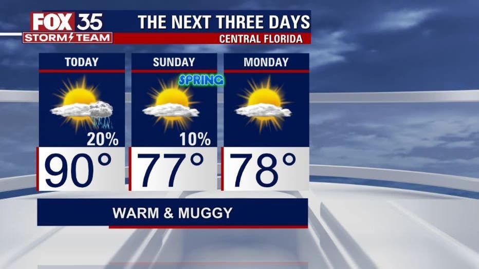
ORLANDO, Fla. - After a hot start to our weekend, temperatures will cool down on Sunday to start spring.
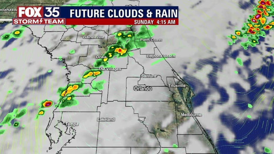
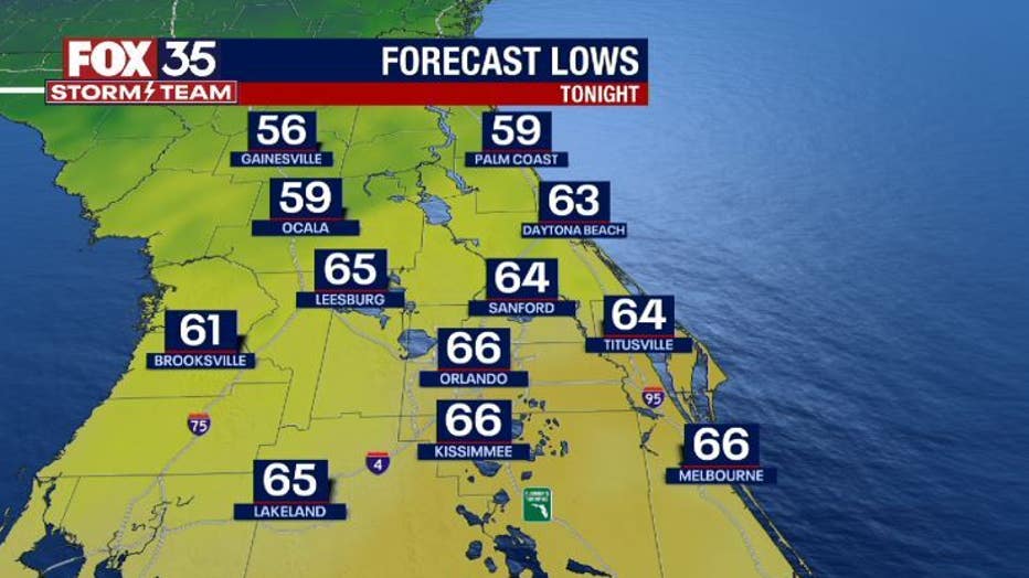
Low temperatures for tonight will be in the mid to upper 60s. An evening sea breeze will bring showers along the coast. Isolated showers associated with the sea breeze are also possible for Osceola and Brevard counties.
DOWNLOAD: FOX 35 NEWS APP | FOX 35 STORM TEAM WEATHER APP
The storms that develop can be on the stronger side, with the primary threats being gusty wind, small hail, and lightning. These storms will push offshore overnight.
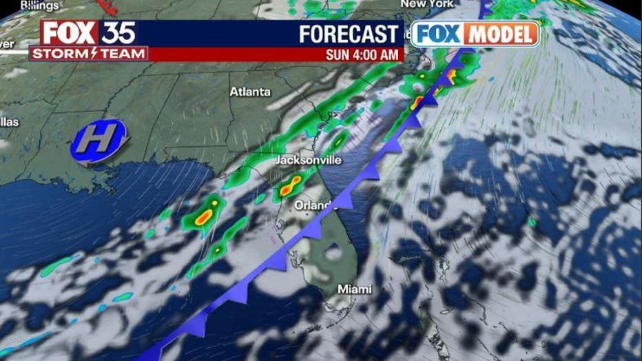
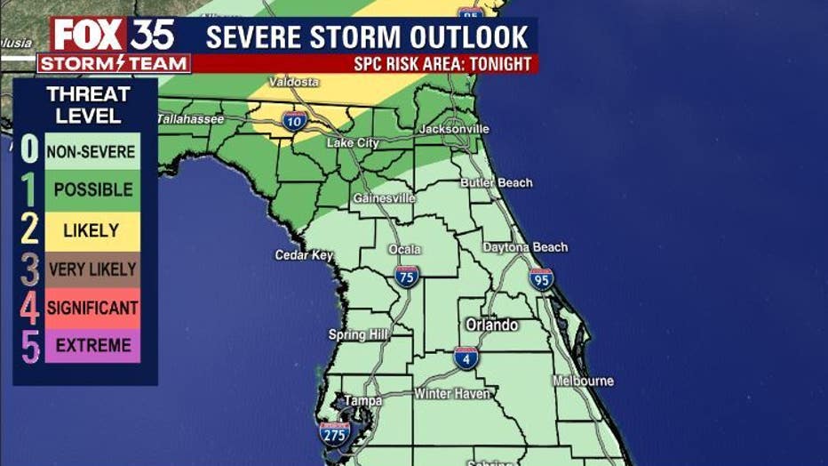
A cold front will move across the Florida peninsula overnight Sunday into early morning Sunday. The threat of severe weather will stay to the north of our viewing area.
The front will move into the Orlando metro Sunday morning, but our latest forecast models show it weakening significantly. The early morning hours will be dry by Sunday.
The temperatures will not get much higher than the lows tonight, with temperatures staying in the mid to upper 70s across Central Florida.
Make sure you stay weather aware and have multiple ways of receiving severe weather alerts.
DOWNLOAD: FOX 35 NEWS APP | FOX 35 STORM TEAM WEATHER APP
SUBSCRIBE: FOX 35 NEWSLETTER | FOX 35 Orlando on YouTube
FOLLOW: Facebook | Instagram | Twitter
Click here for the latest Central Florida news, Florida stories and local headlines.