

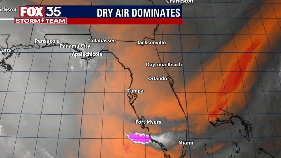
Tropical moisture shoved away as dry air is here to stay

Weather Report: September 27, 2021
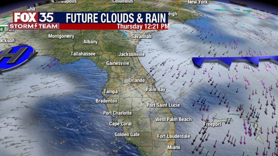
FOX 35 Storm Team Chief Meteorologist Jayme King gives the latest on the weather in Central Florida.
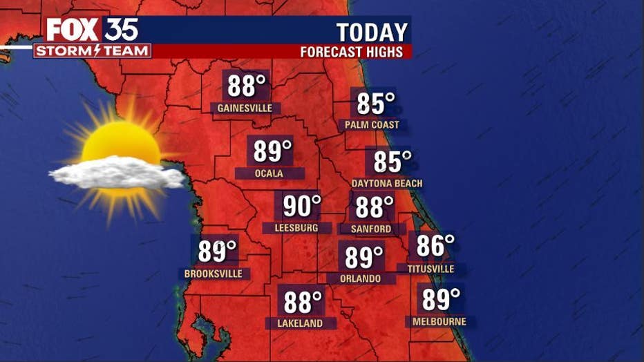
ORLANDO, Fla. - The trend of amazing weather in Central Florida continues as we kick off this new week.
After a cool Monday morning, temperatures will rebound into the "warm zone" by the afternoon. Expect widespread upper 80s to near 90 degrees inland. Coastal locations will enjoy the mid-80s and ocean breezes.

The local airmass remains rather dry and rain chances are near zero. It stays that way pretty much all week long. Tropical moisture has been shoved way south and this will allow our outdoor comfort index to head to a 7.5-8.
WEATHER ALERTS: Download the FOX 35 Storm Team Weather app for live radar, severe weather alerts, and daily forecast reports on your phone
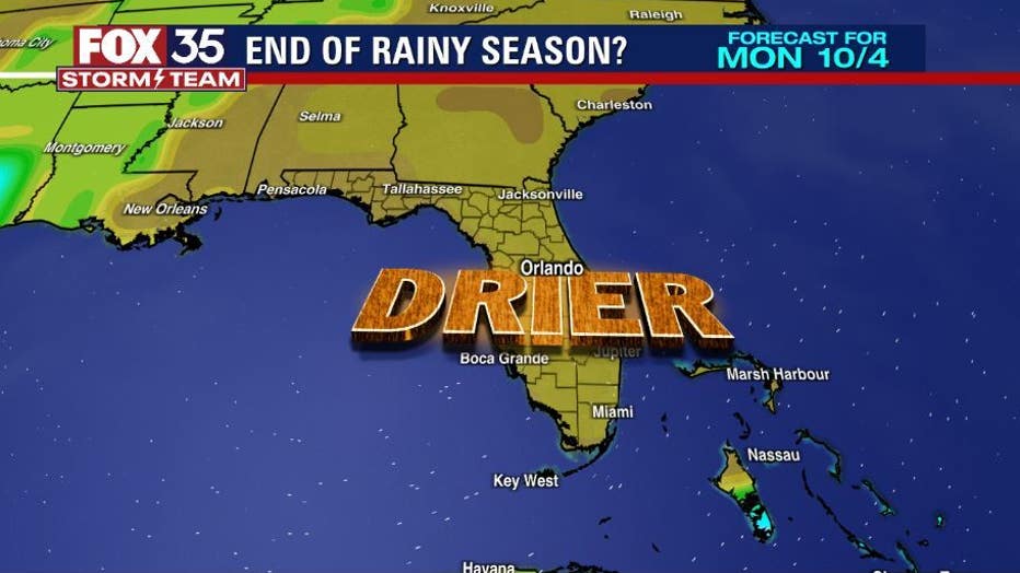
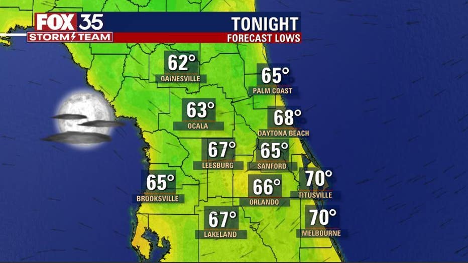
The drier air will also make for a cool Monday evening with rock bottom lows for the area by tomorrow morning in the 60s. Long-range forecast models show the drier air sticking around as we head into early October.
Looks like another series of weak fronts will move across the eastern United States later this week. Wet weather is not expected to accompany the fronts as conditions remain dry. High pressure will fill in behind the departing fronts, helping to ignite some northeast breezes by the weekend.
Watch FOX 35 Orlando for the latest Central Florida news.