

Central Florida will have beautiful, dry, warm weather this week
Weather Forecast: March 8, 2021
FOX 35 Chief Meteorologist Glenn Richards has the latest on the weather in Central Florida.
Orlando, FL - Looks like a beautiful run of Central Florida weather for the next several days!
High pressure will be calling the shots. This means breezy conditions but staying dry with a mix of sunshine and Atlantic cloud cover passing by. The high will eventually move southeast of Florida late week. This will send our temperatures into the 80s, timing out perfectly with your weekend outdoor plans.
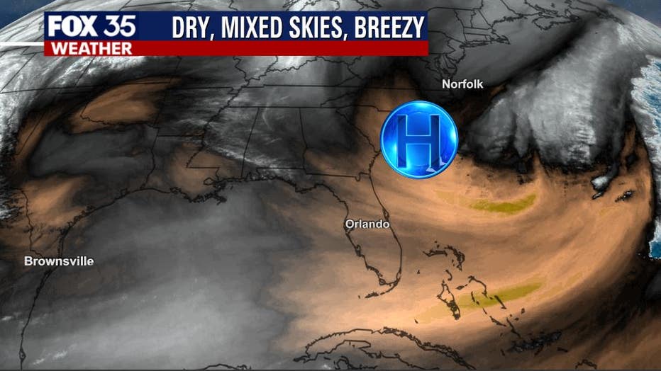
Forecast models continue to show dry weather through midweek. Expect passing clouds, especially along the immediate coast. Cloud cover could ease a bit later in the week and into next weekend as winds ease and change direction.
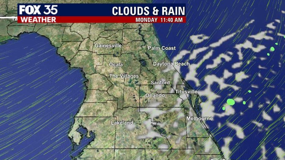
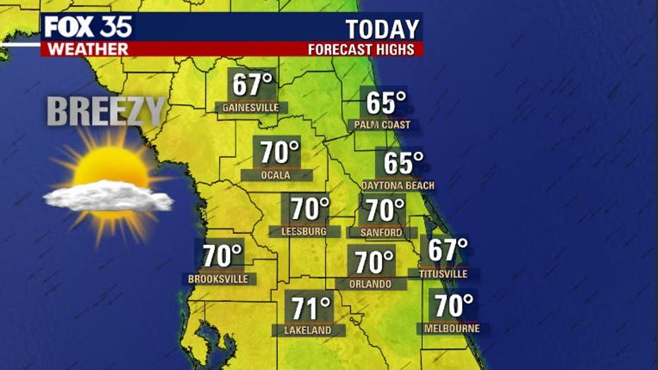
Highs on Monday will be on the cooler side but still comfortable overall. Expect 60s along the immediate coast with highs heading closer to the 70-degree mark or just above as you head inland. Gusty winds will be most pronounced along the coastal counties. There are currently small craft advisories in effect over the Atlantic coastal waters.
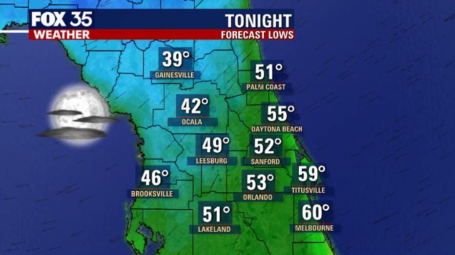
On Monday night, lows will be mixed up. 30s are possible up in North Central Florida, with perhaps the 40s south of that. As you get closer to the Atlantic, especially around Brevard County, ocean breezes will keep temps a bit warmer with lowa closer to 60 around Titusville and Melbourne.
Tune in to FOX 35 Orlando for the latest weather updates.