

Central Florida Weather: Heavy rain bands expected as potential Tropical Storm Bertha looms
ORLANDO, Fla. - The chance of a low-pressure system turning into a tropical depression this weekend is rising.
Whether Tropical Storm Bertha forms in the coming days or not, those in Central Florida will experience afternoon and evening storms throughout the weekend.
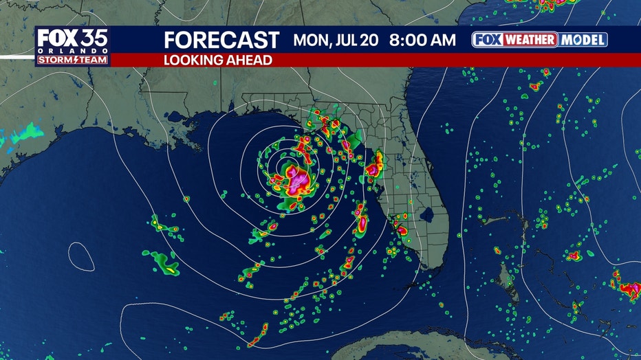
What we know about the coming storm
This system is currently being driven by the jet stream rather than tropical forces.
However, as it lingers over the warm eastern Gulf this weekend, it could develop into Tropical Storm Bertha, with a few models even hinting at hurricane strength.
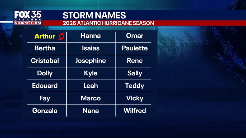
If formed, Tropical Storm Bertha – following Arthur, which made landfall in Texas in June – will be the second tropical storm of the 2026 Atlantic hurricane season.
Learn more: How much rainfall is coming to Central Florida?
Weather impacts for Central Florida (I-4 corridor)
- The Weather: Regardless of official development, expect high humidity and above-average daily afternoon/evening downpours.
- The Weekend: Expect frequent rain bands, but it will not be a total washout.
- Rain Totals: Heaviest on the Gulf Coast; lightest on the Atlantic Coast.
How will the rain affect weekend plans?
A significant amount of rainfall will occur on the Gulf Coast of Florida with some areas getting over eight inches between Friday and Monday. Flash flooding could occur at times in the Tampa and Sarasota areas.
Inland closer to Orlando, rain coverage each afternoon will be more sporadic and largely focused in the evening hours. For those with outdoor weekend plans, the weather should be dry in the morning.
With more wind energy in the atmosphere, a brief tornado or two is possible, especially on Sunday and Monday afternoons.
The Source: Information in this story was gathered from FOX 35's Noah Bergren.