

Orlando weather: Showers, storms forecast for Tuesday, Wednesday
Orlando weather: Showers, storms next few days
FOX 35 meteorologist Noah Bergren is tracking an increase in afternoon showers and thunderstorms across Orlando and Central Florida. Here is the latest weather forecast, timeline, and potential impacts.
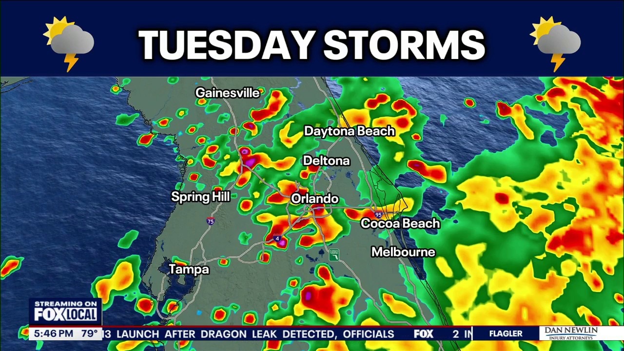
ORLANDO, Fla. - The FOX 35 Storm Team is tracking an increase in rain and thunderstorm chances on Tuesday and Wednesday afternoon.
Tuesday forecast: Scattered showers and thunderstorms
What to expect:
We're tracking widespread showers and thunderstorms with frequent lightning, heavy rain, and gusty ends at times on Tuesday and Wednesday afternoon.
Storms and showers will move from the northeast to the southwest across central Florida, growing as they head towards the Tampa area each day.
Timeline:
The timeline for potential rain is between 12 p.m. and 7 p.m. both Tuesday and Wednesday.
- Highest rain coverage in Orlando: 3 p.m. - 5 p.m. both days
- Highest coverage at beaches: 12 p.m. - 1 p.m. both days
- Highest coverage west of Orlando: After 4 p.m. both days
Heat & humidity sticking around
High temperatures should stay within the low 90s through the weekend.
Tracking the tropics
The NHC is watching tropical depression five in the Gulf, near the coasts of Texas and Louisiana. It's expected to become Tropical Storm Edouard, becoming the fifth named storm of the 2026 Atlantic hurricane season.
The remnants of Tropical Storm Dolly have largely disintegrated and are not forecast for redevelopment. Though the tropical moisture is expected to bring increased rain chances to parts of Florida, especially South Florida.
The Source: The information in this story was provided by the FOX 35 Storm Team.