

Above normal heat expected this weekend
LAKE MARY, Fla. (FOX 35 ORLANDO) - It’s the last weekend of summer break for many students in Central Florida, and it will be one to remember in terms of the heat and humidity.
A warm westerly wind will continue as we head through Saturday and Sunday, pulling moisture from the Gulf of Mexico and keeping dewpoint values in the mid-70s.
Dewpoint is a measure of the amount of moisture in the atmosphere, so this setup promotes a very humid environment.
Afternoon high temperatures will climb to the mid-90s, which is above average for this time of year.
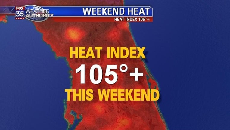
The heat index, or "feels-like" temperature, will approach 108 in some spots, with more heat advisories likely across north Florida.
A heat advisory was issued for some northeast Florida counties on Friday, with heat index values forecast to hit 109.
Expect scattered, slow-moving showers and storms each afternoon with a rain chance holding at 40 percent through the weekend.
Overnight lows will drop to the upper 70s under partly cloudy skies.
Next week, broad high pressure is forecast to remain anchored over the Gulf of Mexico and southeast states to start the week.
Expect low-to-mid 90s for the first day of school on Monday, with the best chance for rain after 2 p.m.