

Scattered showers and isolated storms Saturday

Scattered showers and isolated storms Saturday
Strong storms are moving across the Central Florida area.
ORLANDO, Fla. - A strong cold front will move over Central Florida on Saturday, bringing scattered showers and a few isolated thunderstorms through the afternoon.
Winds will pick up out of the west at 20-25 mph, with higher gusts.
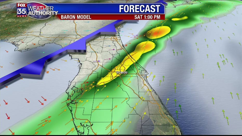
The chance of rain is 70%, from noon to 4:00 PM for most of the area, with temperatures falling to the upper 60s by 5:00 PM.
A Small Craft Advisory is in effect for all waters, as conditions will be very dangerous for boaters through Sunday morning.
Northwest winds behind the front will increase to near 28 mph near shore tonight, and up to 34 mph offshore.
A Gale Watch is in effect for near-shore waters tonight, as well a Gale Warning for offshore waters.
Seas will build up to 8 feet near shore overnight, and seas offshore will build up to 13 feet.
The front will be south of Orlando by 6PM, with mostly cloudy skies gradually clearing.
Temperatures will fall to around 45 degrees, with breezy winds out of the west at 10-20 mph.