Rain chances continue into the weekend; tropics remain relatively quiet

Weather Forecast: June 25
FOX 35 Storm Team Chief Meteorologist Jayme King has the latest forecast across Central Florida.
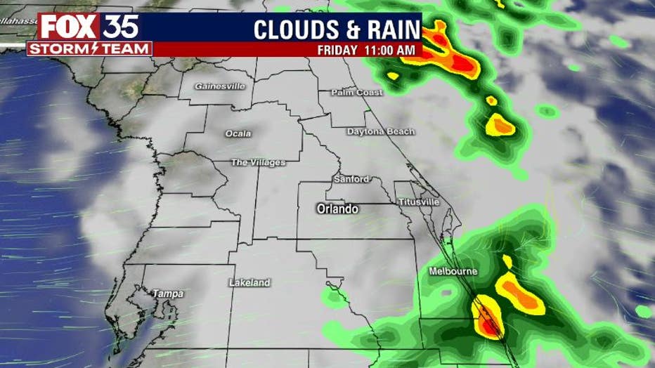
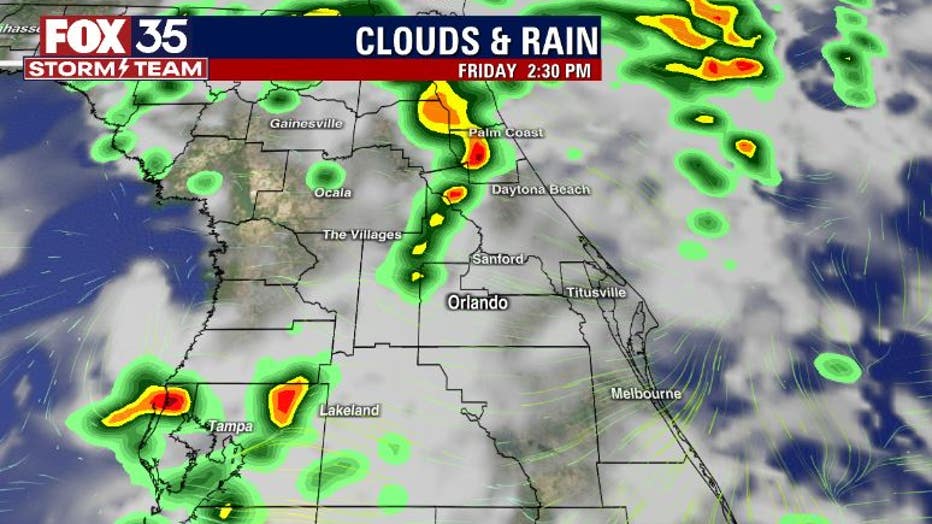
ORLANDO, Fla. - Increasing rain chances and cloud cover return to Central Florida on Friday. Expect a similar weather pattern for your Saturday and Sunday as well. Temperatures, while warm, will only peak in the low-to-mid 80s this afternoon. The air will remain muggy, with the humidity quite high. The highest rain chances will set up West of I-95 and mainly after 1-2 p.m. this afternoon.

Rainfall model forecasts indicate an increase in rain chances along the coast. Heavy downpours and lightning strikes appear to be the main threat.

Coverage will increase inland, west of I-95 by the time early afternoon arrives. More heavy rain potential and numerous lightning strikes are both looking likely. The overall pattern this afternoon looks strikingly similar to what we saw locally Thursday for a comparison.

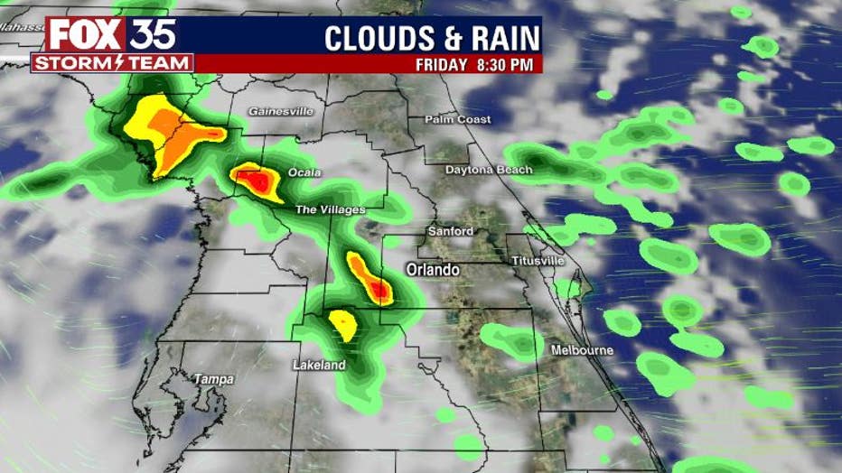
Showers and storms linger into the evening hours with coverage highest over the western counties and the Gulf of Mexico. Rain chances dry up late tonight for the most part, but a few coastal showers could show up, especially down along the Space Coast. We'll be tracking it all for you.

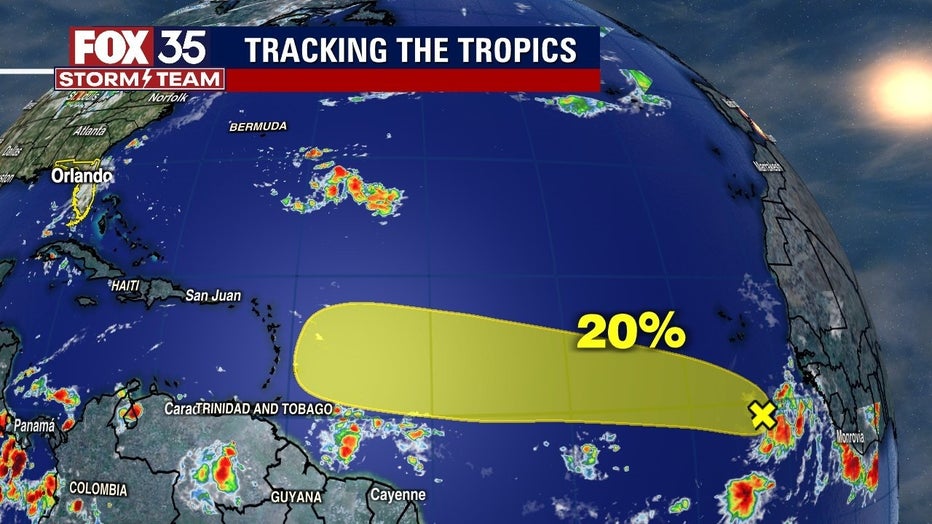
In the tropics, we're still keeping an eye on a distant easterly wave that's hanging out near Western Africa. On Thursday, the five-day developmental outlook from the National Hurricane Center was near 40%.
On Friday, it's down to 20%. While this area is not a favored region for tropical action this time of year (most active in late July, August and September), some development is possible in the coming days. We will continue to track this feature and will keep it all up to date.

