

Orlando weather: Storm chances rise as the weekend concludes
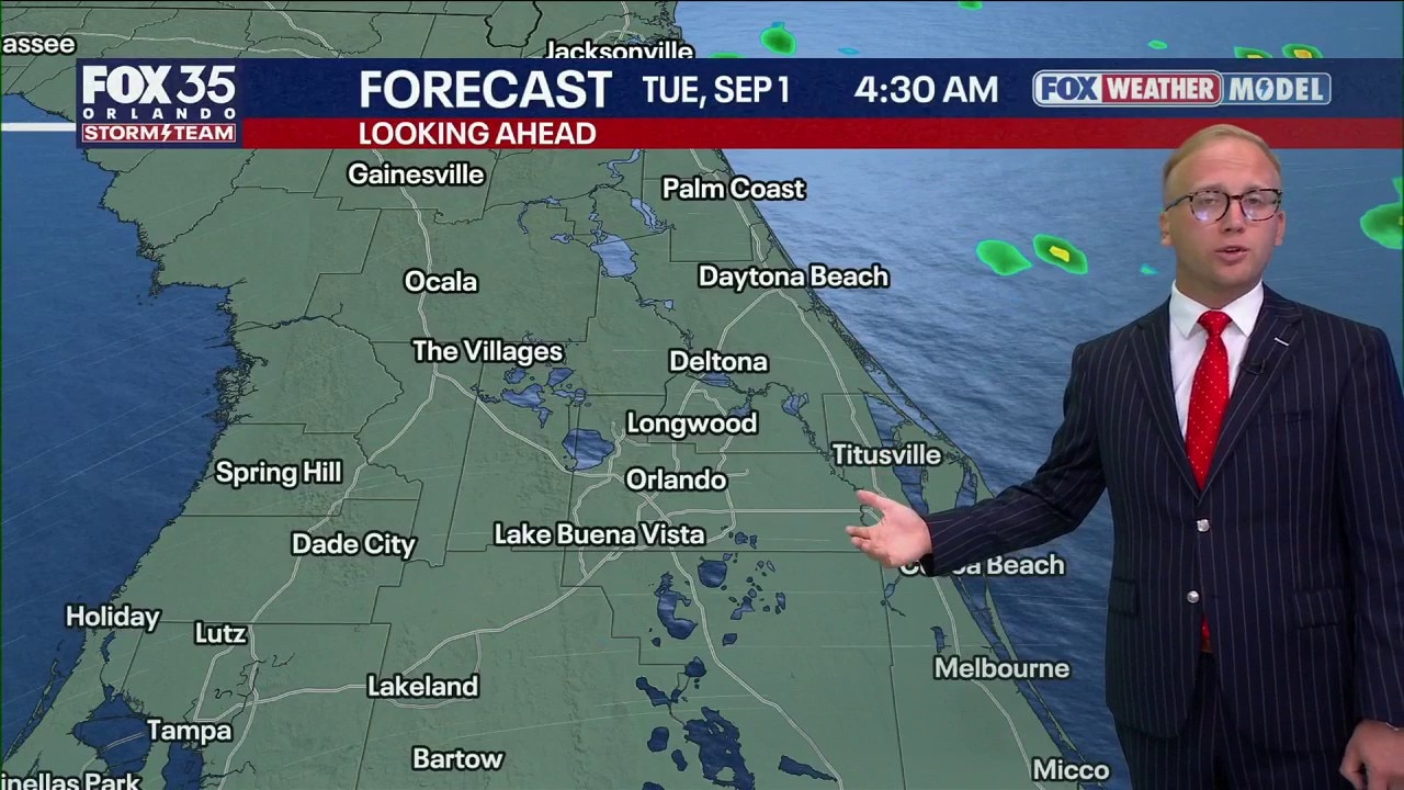
Orlando Weather Forecast: Tracking storms
Rising rain chances early this week to welcome in September. FOX 35 Storm Team Senior Meteorologist Noah Bergren is tracking when and where to expect rain.
DAILY RAIN CHANCES INCREASING
ORLANDO, Fla. - We are tracking rising rain and storm chances with most of the activity being inland Monday and Tuesday. Any and all storms will move westwards with downpours and frequent lightning. The immediate beaches may remain on the dry side as storms pop and grow as they move inland.
The best chance of bigger storms is west of Orlando.
Rain chances hit 70% on Tuesday and stay near 60% through the latter half of the workweek. While washouts are not expected, any storm that develops will be capable of torrential downpours, frequent lightning, and localized gusty winds before tapering off after sunset.
STEAMY CONDITIONS PREVAIL
Air temperatures will remain right on target for late August, with afternoon highs topping out in the lower-to-middle 90s. However, high humidity will keep conditions feeling steamy.
Heat indices ("feels-like" temperatures) will routinely reach 102° to 106° before afternoon storms arrive to provide localized cooling relief. If you have outdoor plans during peak midday heat, take frequent shade breaks and stay hydrated.
Plus, the rain and clouds will aid in limiting our afternoon readings later this week. Temperatures look to dip toward seasonable norms, topping out near 91° into next weekend, with overnight lows in the middle to upper 70s.
TRACKING THE TROPICS
In the Atlantic basin, we are tracking two areas of possible development. Invest 97L may become a brief tropical depression or a tropical storm Monday into Tuesday before hitting Texas. If it does, it would become Edouard.
The remnants of Dolly are currently producing rainstorms over Puerto Rico. If they survive moving through an area of hostile windshield, there is a chance they could reform into a tropical system near Florida Thursday through Saturday of this week. That, however, is a very uncertain and tricky forecast because we just simply do not know if the remnants will survive yet.
Water temperatures are very warm and windshield will be lighter than if the remnants do survive a system. Certainly could get going fast around Florida later this week. And why it’s important to keep tabs in the forecast.
Chances are up to 20% over the next 7 days but strong wind shear ahead of the system is attempting to tear apart what is left of Dolly. This continues a trend where strong shear has kept tropical systems in check this season.
Some of the moisture that is left over from Dolly could move our way next weekend, but the question mark is if it will be able to reorganize further. Make sure you keep checking back with the Storm Team.
Meanwhile, a weak area of low pressure over the northern Gulf of Mexico is producing showers and storms, but they have become a bit more concentrated.
This has now been designated Invest 97L with chances of development over the next 2–7 days at 30%. This wave will continue to work WNW toward the Gulf Coast of Texas and Louisiana.
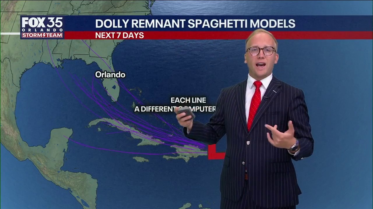
Tropics forecast: Two tropical systems may form this week near Florida
Dolly's remnants and Invest 97L need to be watched for potential tropical development this week. FOX 35 Storm Team Senior Meteorologist Noah Bergren breaks it down.
The Source: This story was written based on information provided by FOX 35 meteorologist T.J. Springers on August 30, 2026.