

Orlando weather: Storm chances build this weekend as heat climbs
Orlando AM Weather Forecast: Few showers and storms expected
We're starting off the weekend with isolated showers and storms. Meteorologist T.J. Springer breaks it down and lets us know if we could see more through the remainder of the weekend.
ORLANDO, Fla. - We're kicking off the weekend on a warmer and muggy note! A few showers and storms are possible in the heating of the day with the help of some upstairs "energy" and the seabreeze collision.
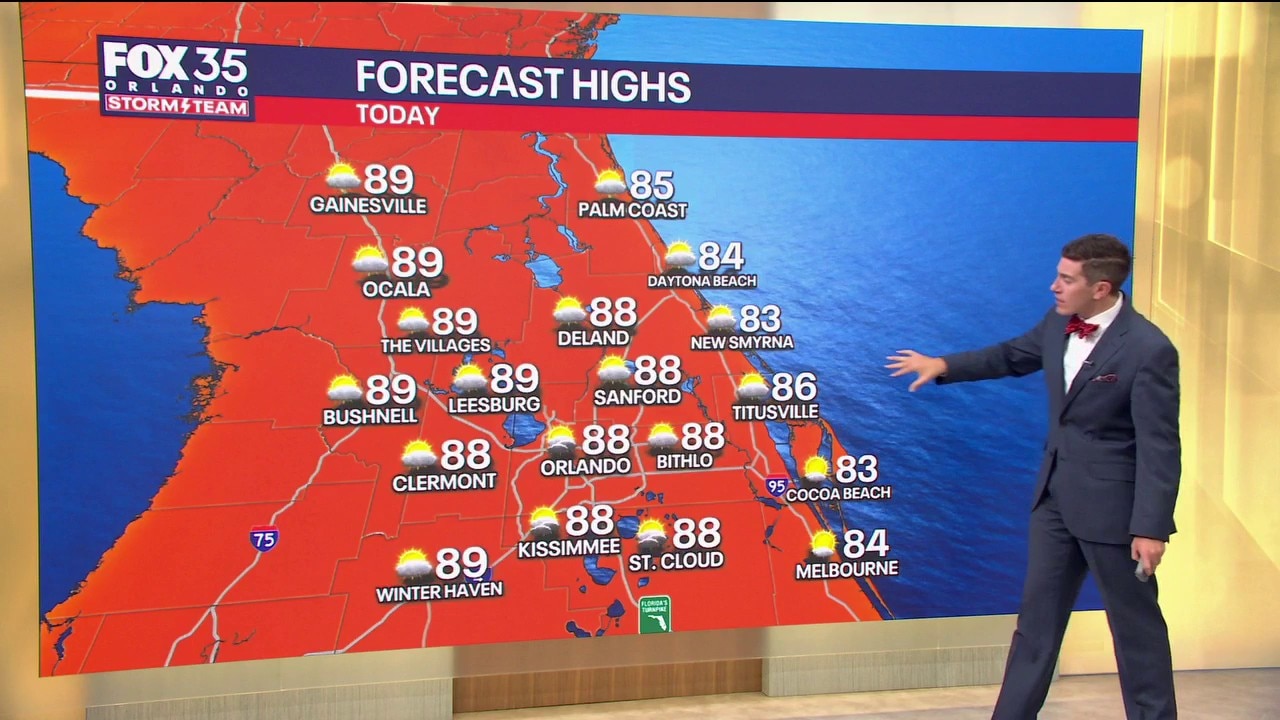
The best bet for these will be across the heart of the FOX 35 Viewing Area. Highs rise above normal today, topping out in the upper 80s.
Overnight, it'll be mainly dry but humid with temps in the middle to upper 60s around the metro. A stray shower or storm is on the table.
What will the weather look like tomorrow?
What to Expect:
Chances for hit-or-miss showers and storms rise on Sunday as another disturbance works toward Central Florida. This, as well as the sea breeze aid it's getting storms during the afternoon and evening.
These work in from the NW during the afternoon and evening, especially north of Orlando. These looked to fade away into Sunday night, but we could still see an isolated shower or storm, mainly early.
Looking ahead
What to Expect:

We get back into more of an onshore flow on Monday and that helps keep the potential for a couple of showers in the forecast. Chances stay low though, around 20%. A ridge of high pressure quickly builds back in, keeping things drier and hot as we approach midweek.
Highs jump back into the upper 80s and lower 90s Wednesday through the latter half of next week.
We'll be watching the signal for a cold front late in the week that could try to usher in some relief from the heat and humidity as well. Stay tuned.
The Source: This story was written by FOX 35 storm team meteorologist T.J. Springer on April 25, 2026.