

NHC tracking tropical disturbance in far Atlantic Ocean
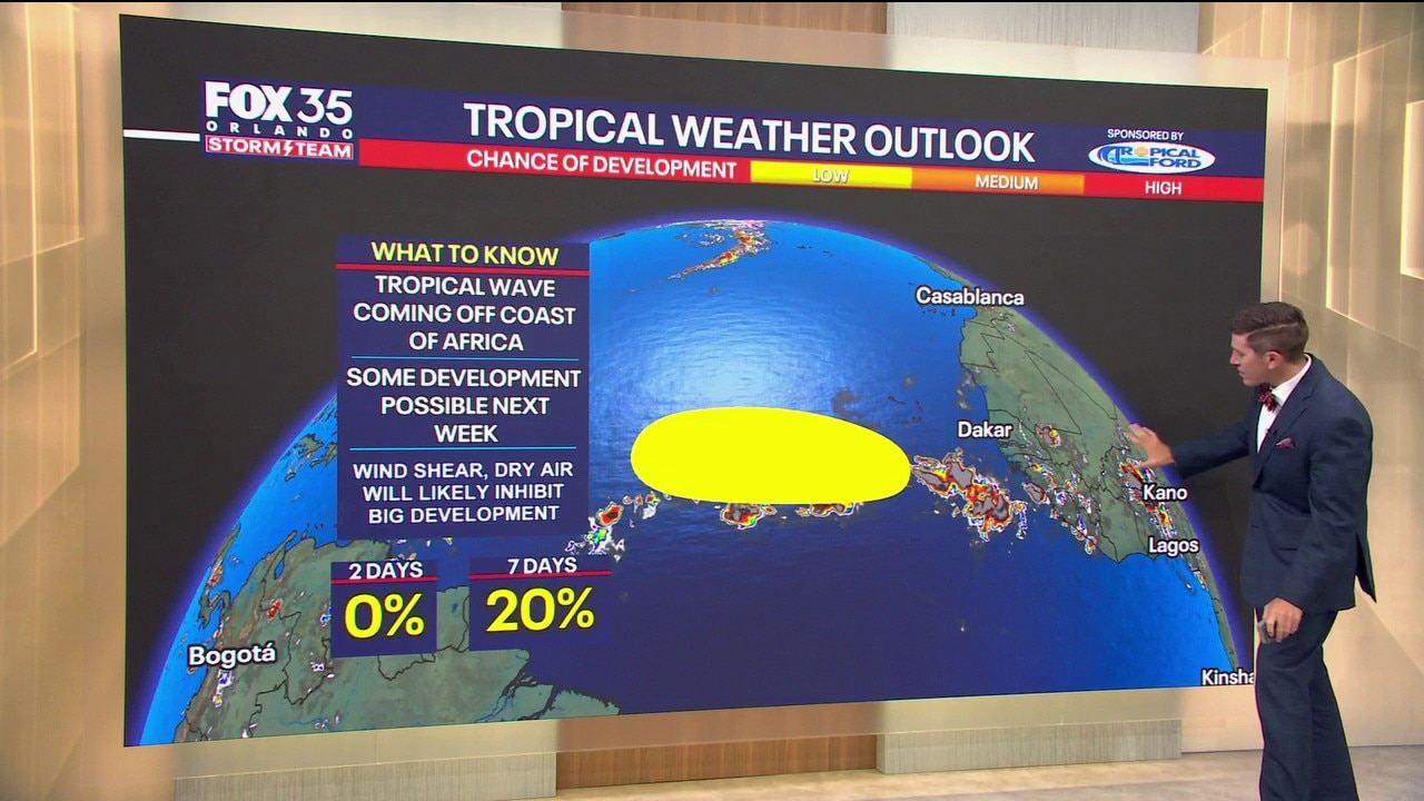
Tropics forecast: Low chance of development in the eastern Atlantic
The NHC is watching an area in the eastern Atlantic as a tropical wave moves off the coast of West Africa. Meteorologist T.J. Springer has the details.
ORANGE COUNTY, Fla. - A tropical wave looks to come off the coast of West Africa over the next 72 hours. From there, it looks to develop a bit further. There's a near 0% chance of development over the next 2 days but a 20% chance of development over the next week.
TIMELINE: As we progress through mid to late week, data suggest at least the potential for a tropical depression or tropical storm. This could become Tropical Storm Cristobal by later next week, but there is a lot of wind shear in the tropical Atlantic.
This is thanks to the strong El Niño we've been seeing throughout the season thus far.
That is making for lots of wind shear across the Basin. Shear and dry air, despite some development, should make for a weaker system overall, but it's something we'll be watching closely.
IMPACTS ON FLORIDA: This system doesn't look to impact Florida. The strong ridge of high pressure in the Atlantic should help steer this system out into the open Atlantic and keep it away from any major landmass.
The Source: This story was written based on information provided by meteorologist T.J. Springer on August 8, 2026.