

Triple digit heat index expected in Central Florida as storms approach

Weather Report: August 2, 2021
FOX 35 Storm Team Meteorologist Kristin Giannas gives the latest on the weather in Central Florida.
ORLANDO, Fla. - Monday is expected to be another hot day in Central Florida, with the heat index once again breaking into triple digits before storms arrive in the afternoon.
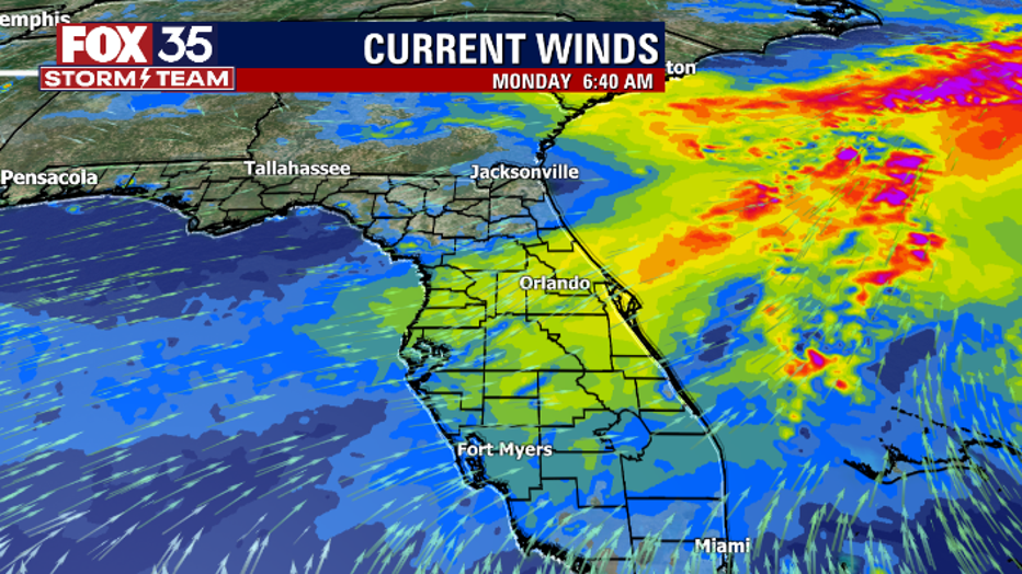
A persistent west, southwest wind flow will continue increasing moisture across east Central Florida throughout Monday, leading to higher coverage of storms.
The added moisture combined with a slightly more unsettled pattern in the upper levels of the atmosphere will lead to higher rain chances on Monday: between 60 and 70 percent.
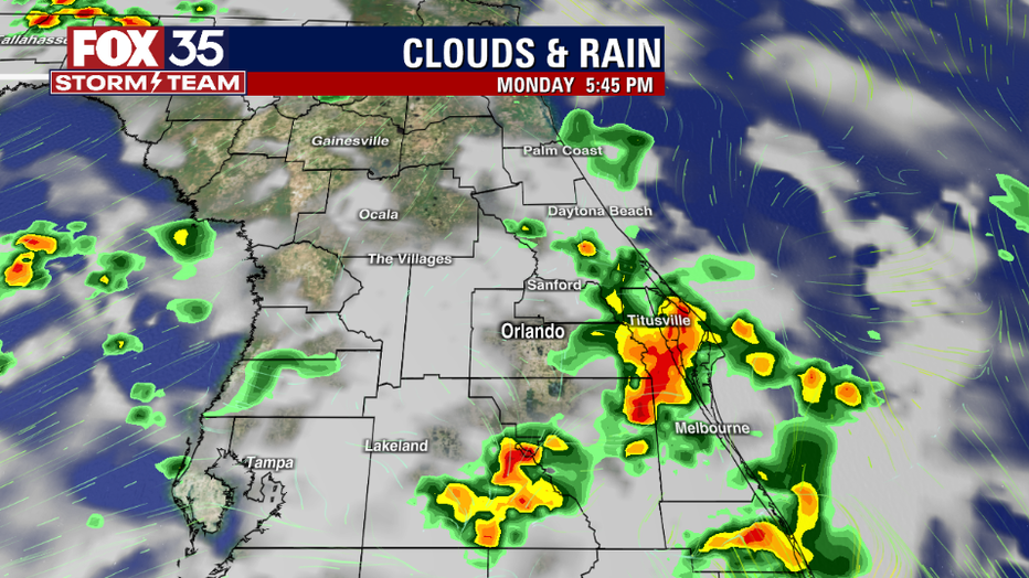
The main threats will be strong wind gusts up to 40 mph, frequent lightning strikes, and locally heavy downpours – up to 3 inches is possible.
The storms will move eastward at 10 to 15 mph.
WEATHER ALERTS: Download the FOX 35 Storm Team Weather app for live radar, severe weather alerts, and daily forecast reports on your phone
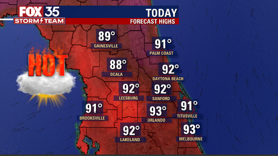
Before the rain, afternoon highs will hit the low 90s, with heat index values up to 105 degrees.
Overnight lows will be in the mid-70s.
Southwest winds will gradually back to the south, southeast as the Atlantic ridge builds northward.
Expect the highest coverage of showers and storms through Wednesday, with a slow decrease in rain chances later in the week.
Watch the FOX 35 Storm Team live for the latest weather updates.