

Tornado strikes New Orleans as storms move into Florida

ORLANDO, Fla. - Severe storms continue to push across the south as a cold front marches east this afternoon.
Several cities in Louisiana are waking up to damage from reported tornadoes overnight. The threat for severe weather now moves into the Florida Panhandle, Georgia, and the Carolinas.
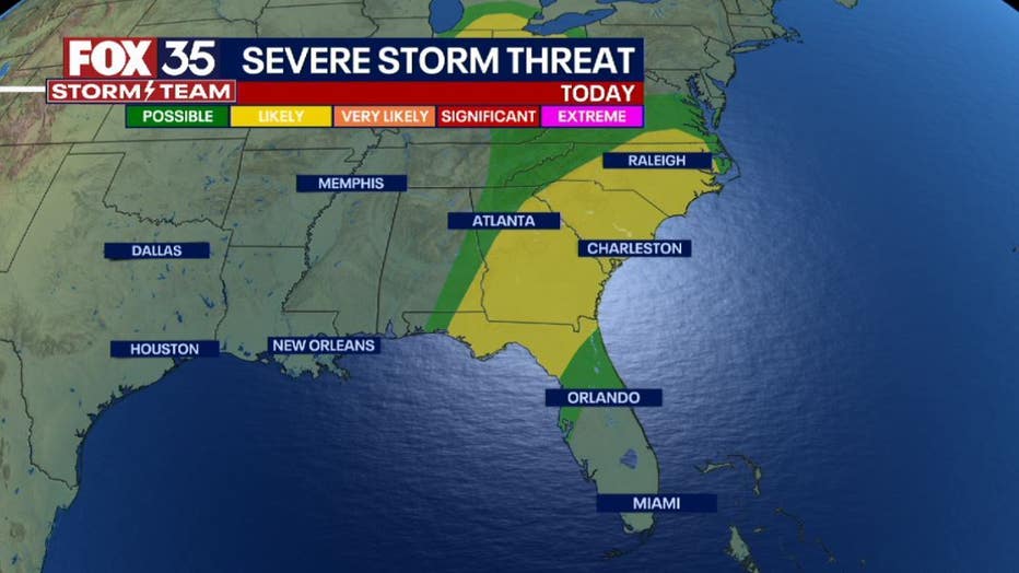
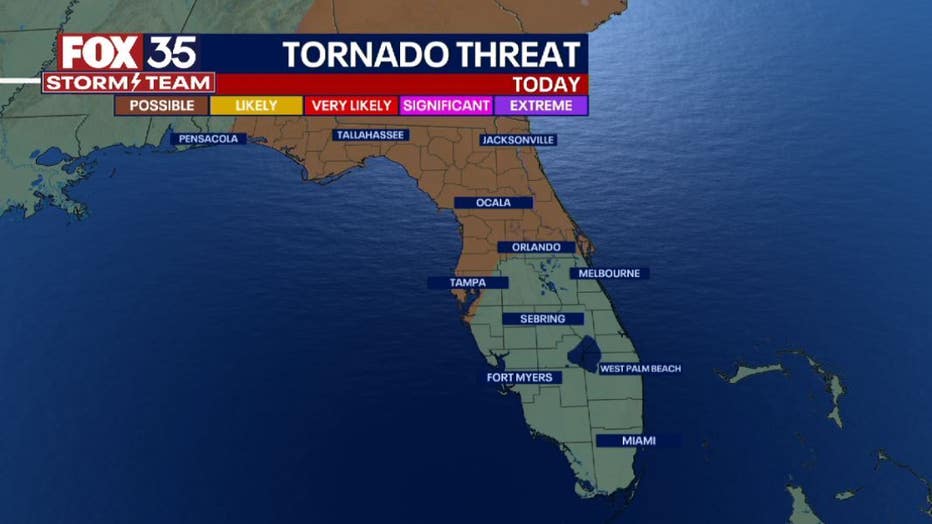
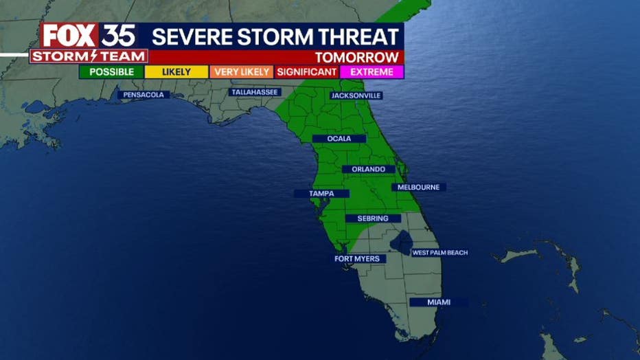
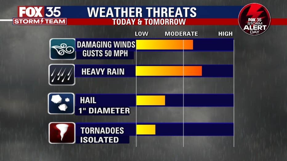
There is a 'Likely" (2/5) risk for damaging wind gusts, heavy rain, frequent lightning and a tornado or two. The FOX 35 Storm Team declares today and tomorrow FOX 35 Storm Alert Days as the cold front moves closer to central Florida. Thursday, central Florida has a "Possible" (1/5) risk for severe storms.
RELATED: New Orleans tornado kills 1, leaves trail of damage in its wake
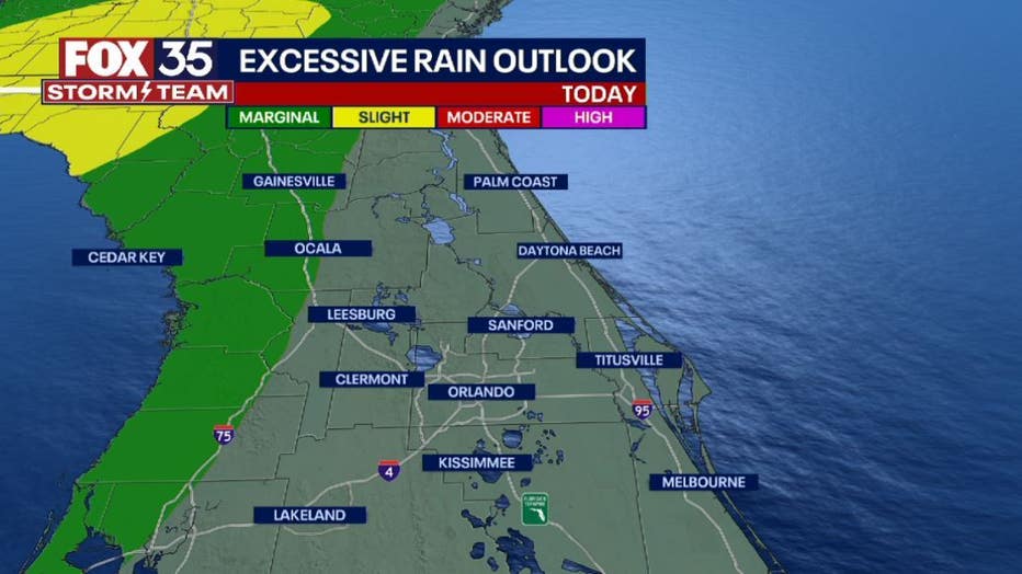
The main weather threats, locally, will be very heavy rain and damaging wind gusts. As always, there is a threat for hail and an isolated tornado or two, but they remain low at this time. Download the FOX 35 Storm Team weather app to use the interactive radar to track the storms as they move into your neighborhood.
Arrival times for the storms on Thursday:
- Alachua, Marion, Levy, Dixie and Gilchrist Counties: 4 a.m.
- Lake, Sumter, Volusia & Flagler Counties: 7 a.m.
- Orange, Seminole & Brevard Counties: 10 a.m.
2nd round of showers and storms begins after 2 p.m., continuing into the evening hours.
RELATED: FOX 35 Storm Alert Day: Strong storms, severe weather possible for Central Florida
Download the FOX 35 Storm Team weather app to receive severe weather alerts sent directly to your phone.
Click here for the latest Central Florida news, Florida stories and local headlines.