

Rainy pattern sets up over next few days across Central Florida

Weather Forecast: June 30, 2022
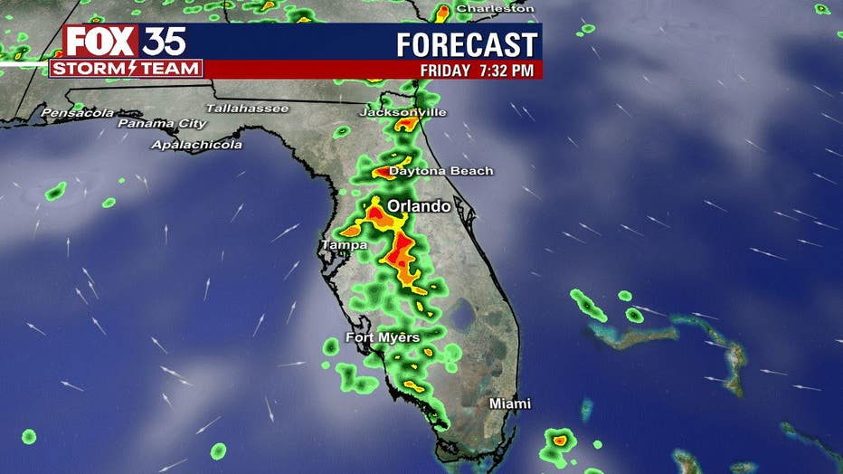
Orlando and Central Florida will see widespread storms on Thursday and chances for precipitation will grow through the weekend. Conditions will improve by the Fourth of July holiday.
ORLANDO, Fla. - After a high of 95° today and a feels-like temp north of 105°, storms are cooling us down but producing such heavy rain that there's near-zero visibility in some rain due to its intensity. Rain should clear out by 8 p.m. We've got another round tomorrow for the afternoon, but ending by evening. The chance of rain is 80%.
WHAT IS THE WEATHER FORECAST FOR TODAY AROUND ORLANDO?
Tonight’s forecast low: 74 degrees
Tomorrow's forecast high: 90 degrees
MAIN WEATHER CONCERNS:
Torrential afternoon storms and cloud-to-ground lightning.
WHAT IS THE WEATHER FORECAST FOR WALT DISNEY WORLD, UNIVERSAL, AND SEAWORLD?
Expect a dry morning but very muggy, with temps around 90° and a feels-like temp over 102°. Storms will become likely after 2 p.m. and could last through 6 p.m.
Download the FOX 35 Storm team weather app to track the live radar right on your cell phone
WHAT IS THE WEATHER FORECAST FOR THE BEACHES IN CENTRAL FLORIDA?
Onshore winds and a swell of 2-3 feet will result in rip currents. The highest risk of rip currents will happen at low tide tomorrow, which occurs around 4 p.m. Only swim in life-guarded areas!
LOOKING AHEAD:
Temperatures remain in the low-90s and at times mid-90s through the extended forecast. Rain and storm chances will range from 60%-70% through Sunday and into the July 4th holiday come Monday.
Download the FOX 35 Storm team weather app to track the live radar right on your cell phone.