

Orlando weather: Warm, windy weekend; spotty showers could impact the Daytona 500
Orlando Weather PM Forecast: Sprinkles Possible for Race Day
We are warning up this weekend! Valentine's Day will be sunny and warm with a chance of chocolate! Some sprinkles ahead of our next cold front will be moving in for the Daytona 500. Meteorologists Laurel Blanchard and Noah Bergren break down this weekends forecast and what the forecast will be like on Sunday for the Daytona 500.
Valentine's Day forecast
What To Expect:
ORLANDO, Fla. - There will be a sweet and sunny forecast with a chance of chocolate perfect for Valentine's Day!
Temperatures will start off cool with mainly clear skies. That sunshine will work to warm temperatures up quickly on Saturday, with temperatures maxing out in the mid and upper 70s.
We'll see mostly sunny skies to start off Saturday with increasing clouds as we head into Saturday evening. Temperatures Saturday night will fall into the low 60s with partly to mostly cloudy skies.

Daytona 500 forecast
What To Expect:
It's race day!
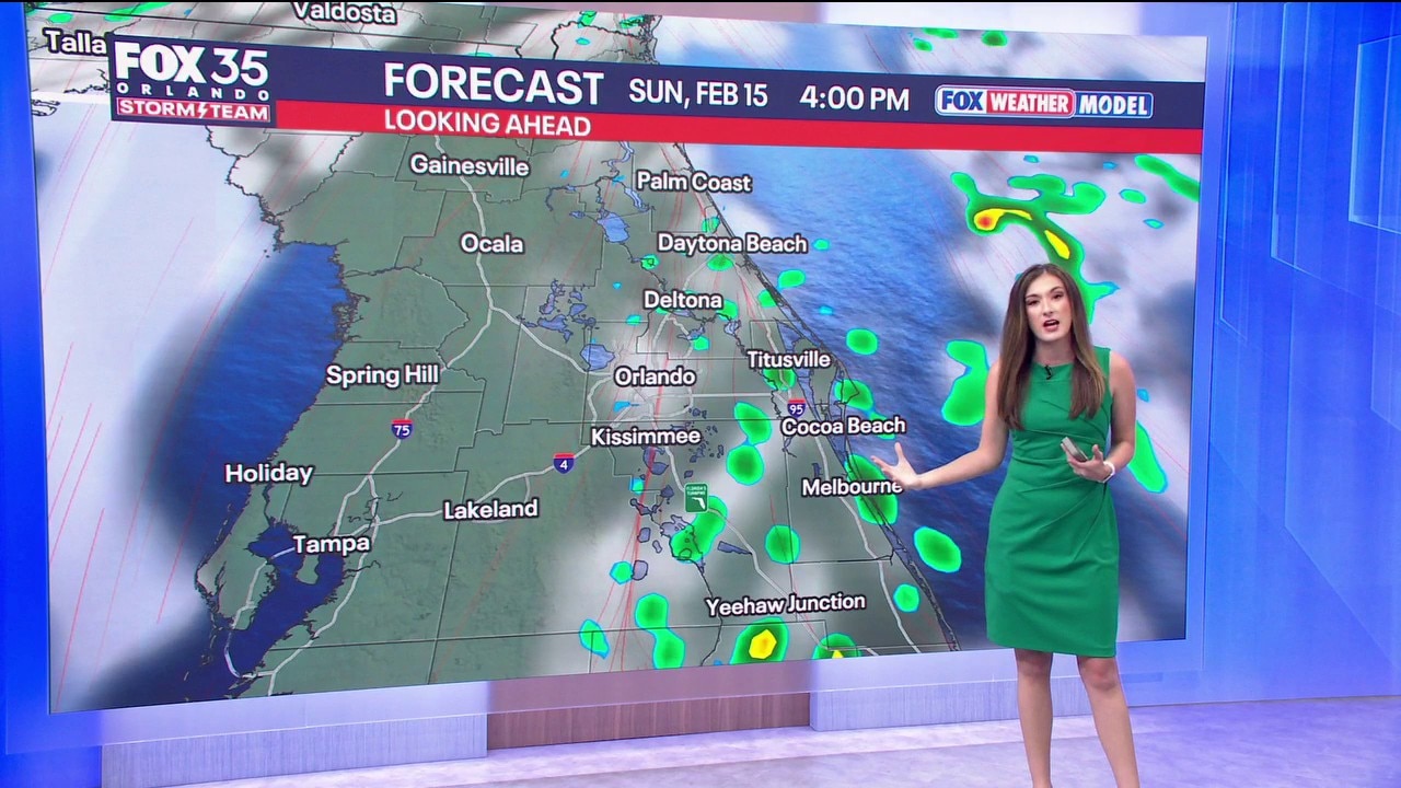
Sunday will be a warm, windy, and at times, wet day ahead of a cold front that will impact us in Central Florida mainly Monday morning. However, that does not mean we are completely in the clear. There will be the threat of scattered showers from 2:30 to 6:30 p.m.
Sunday and some of these showers get close to the speedway. If showers move in, it could delay the race. A brief train delay or two is possible Sunday evening at the Daytona 500, but the race should start and finish fine on Sunday.

Winds will also be a challenge for the fans and the drovers on Sunday. Winds will be gusting up to 25–30 mph on Sunday.

Temperatures will be quite warm, climbing into the low 80s for highs. Mostly cloudy skies stick around Sunday night with temps bottoming out in the low 60s.
President's Day forecast
Looking Ahead:
Late Sunday night and into early Monday morning, the main round of rain and storms will push into the region ahead of a cold front.

With a few isolated thunderstorms on the cards, gusty winds and periods of downpours will be possible. Scattered rain and storms will stick around all the way into the early and mid-afternoon hours. We'll gradually dry things out before sunset Monday afternoon with a few lingering showers.

Next week's weather outlook
Looking Ahead:
Beyond Monday, the forecast looks warm, sunny, dry. Temperatures will be warming up in a big way for next week. Highs will approach the mid 80s by Thursday and Friday.

Drought concerns grow
Dig deeper:
Drought conditions are expanding and now the worst since 2000 in Florida.

We need rain and will get some late Sunday into Monday, but nowhere near enough to make major dents in the drought levels.

Wildfire risk looks to stick around until May, which has resulted in numerous burn bans issued across Florida. In fact, roughly 61% of the state is under a burn ban order.

In our viewing areas of FOX 35 and FOX 51, those burn bans cover Alachua, Brevard, Flagler, Gilchrist, Marion, Orange, Polk, and Sumter counties.

The Source: This story was written with information from the FOX 35 Storm Team.