

Orlando weather: Central Florida heats up before weekend rain
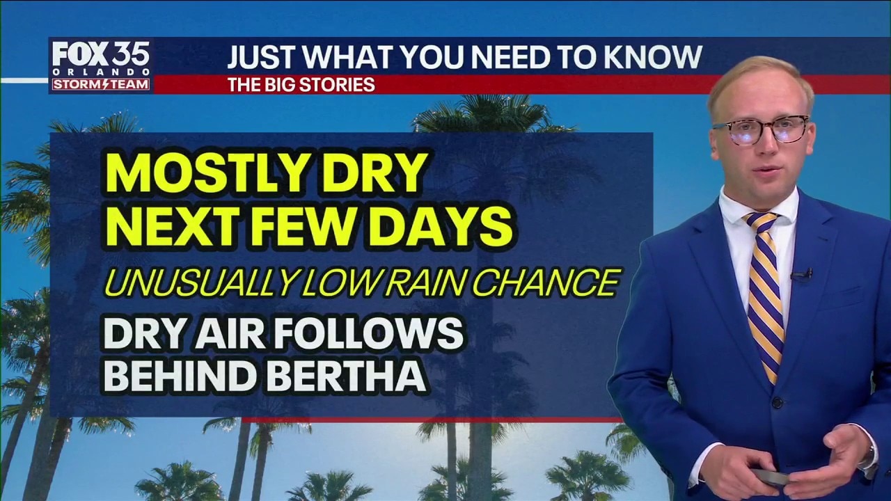
Weather Forecast: Dry today, but wet weather on the way
FOX 35's Noah Bergren has the latest weather forecast for Orlando and Central Florida.
ORLANDO, Fla. - Tropical Storm Bertha made landfall on Wednesday afternoon in St. Bernard Parish, Louisiana, about 40 miles east of New Orleans.
Behind the storm, Central Florida is expected to see several days of mainly dry weather with temperatures climbing into the upper 90s through Friday.
Tropical Storm Berth makes landfall
Bertha is the second tropical storm to make U.S. landfall this hurricane season. It is also the first tropical system to strike Louisiana in July since Barry in 2019 and the 13th tropical system to affect the state during the month of July.
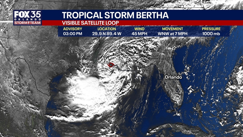
The storm is expected to weaken as it moves inland, though its remnants could reorganize over the Gulf before bringing periods of rain and gusty winds to southeast Texas from Friday into Saturday.
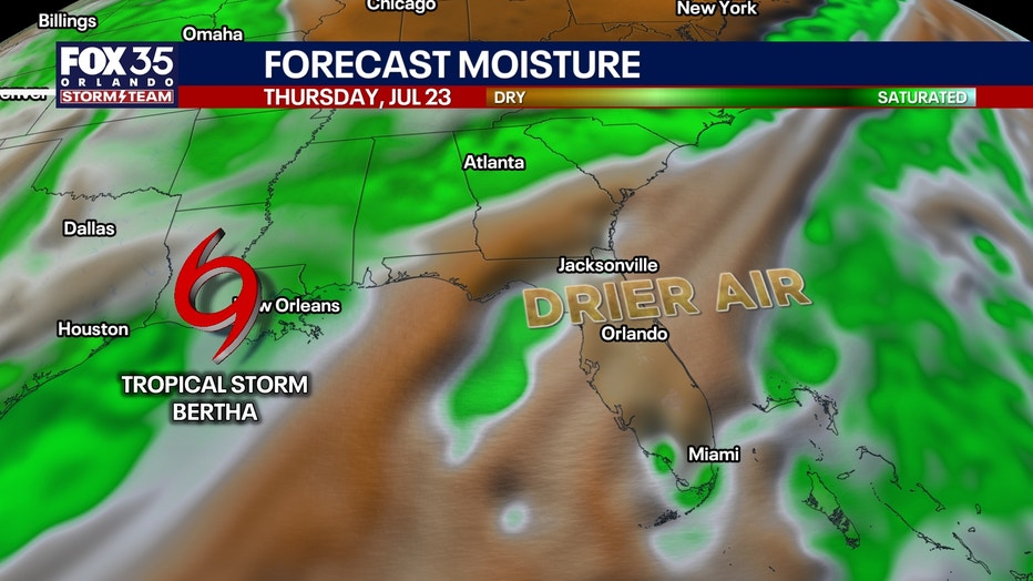
Drier air holds as temps heat up
The hot stretch continues an unusually warm summer. Orlando is on pace for one of its hottest summers on record, ranking third since weather records began in 1892.
Rain chances are expected to increase over the weekend as moisture returns to the region, bringing scattered afternoon showers and thunderstorms Saturday through much of next week.
How hot will it get?:
With that drier air in play, temps will be topping out in the middle 90s for the most part as we approach midweek.
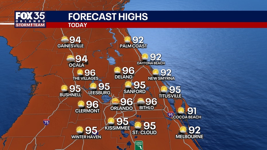
Highs on Thursday and Friday look to climb into the middle to potentially upper 90s in some isolated spots, which is above average for this time of year.

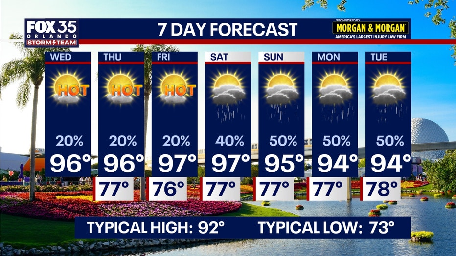
Feels like temps with the humidity look to get back into the middle to upper 100s. Rain chances do start to climb as we tap into more moisture this weekend, rising to around 40% to 50% Saturday and Sunday.
The Source: The information in this story was provided by the FOX 35 Storm Team.