Orlando Weather: Showers starting to fade away tonight

Orlando P.M. Weather : September 28th, 2024
FOX 35 Storm Team Meteorologist Laurel Blanchard gives us the latest forecast for this evening, weekend and tropics.
ORLANDO, Fl - The last of the showers will fade away this evening as partly cloudy skies take us overnight with temperatures in the low to mid 70s.
Rest of the Weekend:
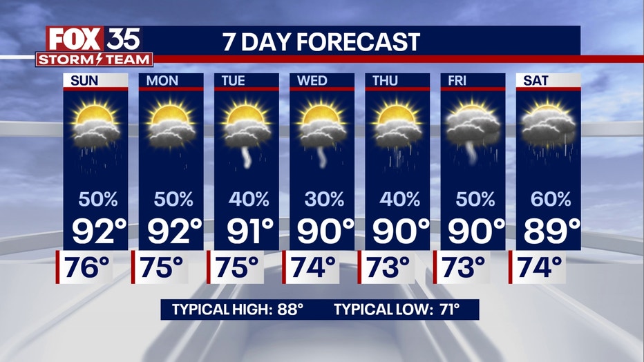
More scattered showers and thunderstorms will roll across Central Florida later on tomorrow morning through the afternoon as a swath of tropical moisture pushes though.
No severe weather is expected and showers should stay more scattered through Sunday. Rain will taper off through the late afternoon, leaving quiet weather tomorrow night.
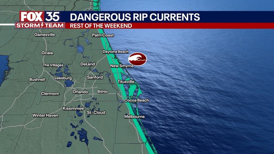
If you are planning on heading to the beaches to wrap up the weekend, rip currents continue to stay very strong for the rest of the weekend and into next week.

Looking Ahead:
Temperatures for the start of the workweek will stay through the upper 80s and low 90s with lows in the mid 70s.
Rain chances will stay scattered on Monday with mainly dry conditions Tuesday, Wednesday and Thursday.
However, we are watching the possibility for another round of tropical activity late next week and next weekend.

Tracking the tropics:
Helene will continue to trail rain through Central Florida this weekend, but will dissipate over the mid-west.
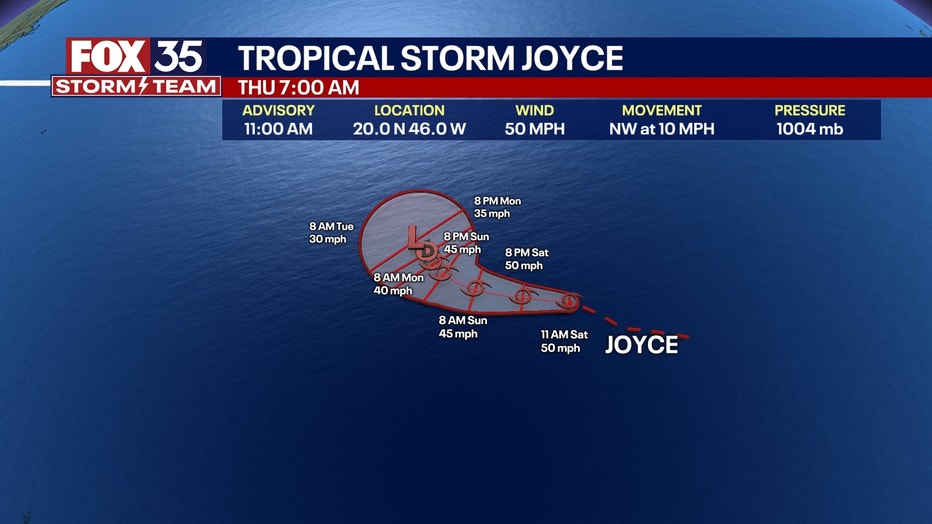
Isaac is holding Cat. 2 strength and Joyce is holding Tropical Storm Strength in the Middle Atlantic having no effect on the U.S..

For potential systems we are keeping tabs on a 70% chance of another tropical system developing off the coast of Africa following TS Joyce. This is expected to not have any effect of the U.S..

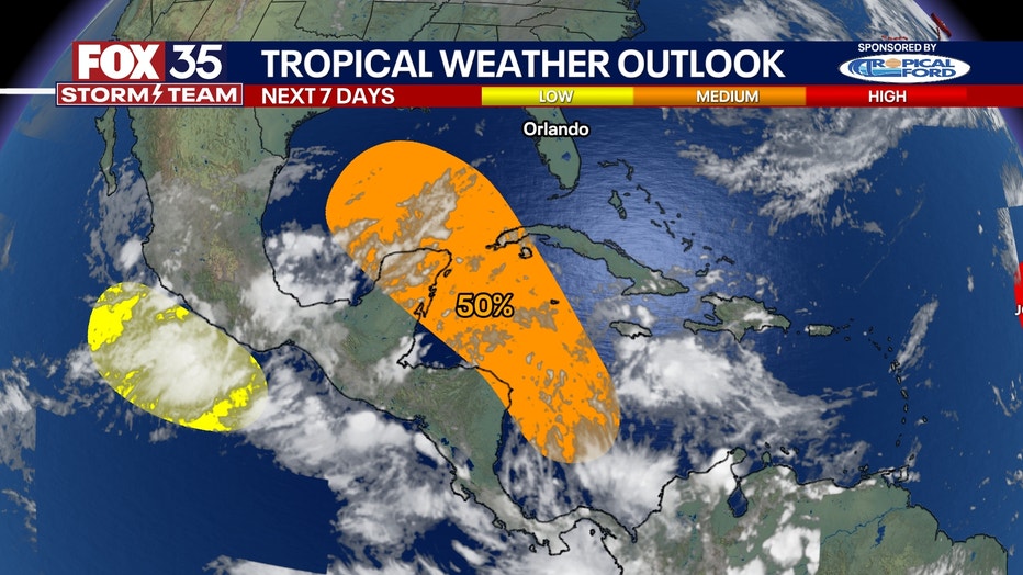
There is another Tropical system that has the potential to form in the western Caribbean and the Gulf. Although Helene did form in the same spot and became a very powerful storm very quickly, Helene forming did not "reset the atmosphere". The water in the Gulf is still very warm. As powerful as Helene was, this storm did not stir up the ocean enough to cool ocean temperatures, and we are still seeing low shear in the atmosphere where we saw Helene form, creating another prime environment for another tropical system to form.We need to watch this zone as this could impact FL and the gulf Oct. 5-9th.

