

Orlando weather: Major heat continues across Central Florida
Orlando AM Weather Forecast: Hot, steamy day ahead
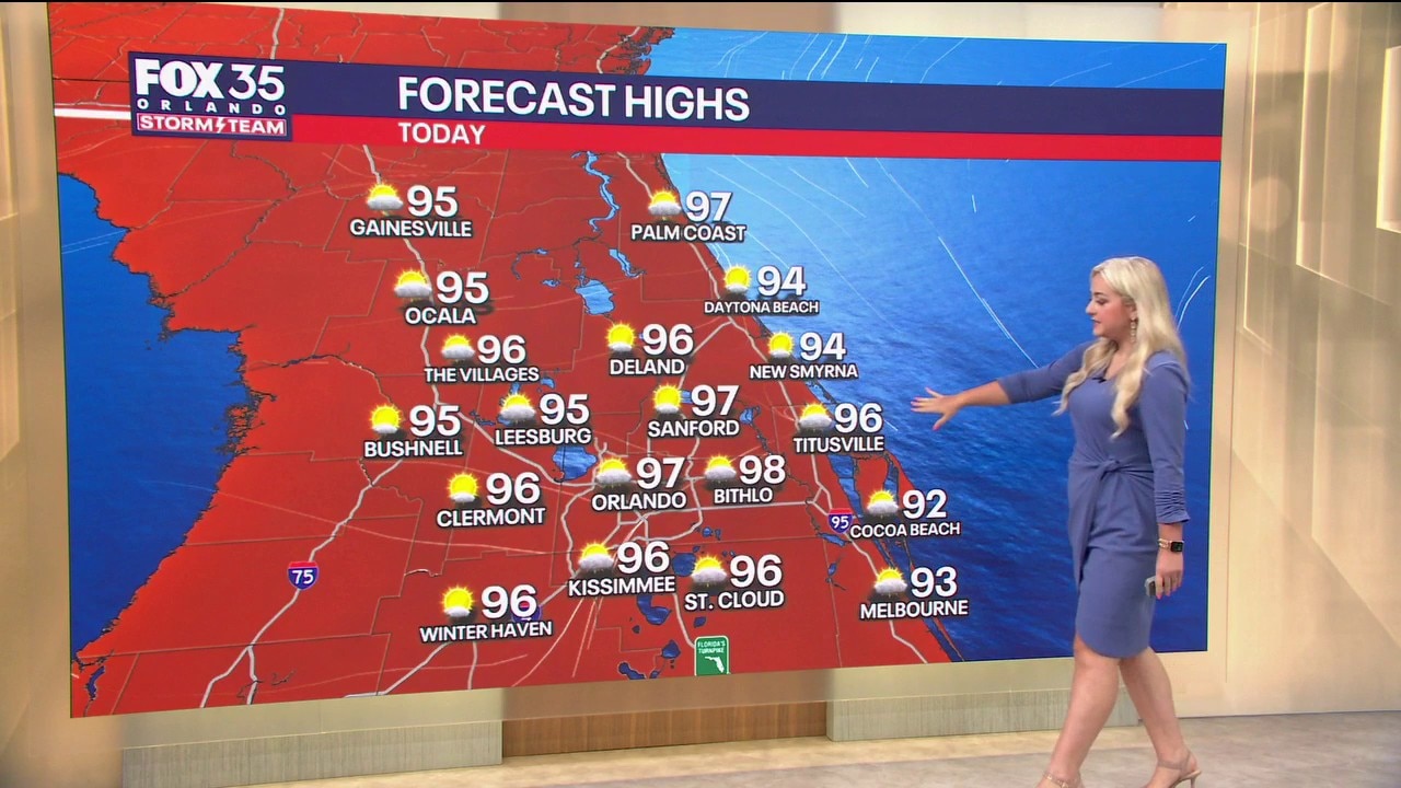
Tuesday will not be as rainy and stormy as the last few days. But it will still be hot and humid with temperatures climbing to the upper 90s across Central Florida. FOX 35 Storm Team meteorologist Jessica Dobson takes a look at the forecast.
ORLANDO, Fla. - A hot and drier-than-normal day is in the works across Central Florida for our Tuesday.
FOX 35 Storm Team Alert
Afternoon highs will soar into the mid and upper 90s. For perspective, our average highs are typically around the low 90s.

High heat index:
While the humidity levels today won't be quite as intense as last week, it will be enough for the heat index to approach dangerous levels.
Plan for feels-like temperatures to peak in the range of around 102-107°.
One of the factors in the hot temperatures today will be the fact that the majority of Central Florida will be dry. This will keep skies mostly clear, with the sunshine helping to heat things up even more.

CLICK TO DOWNLOAD THE FOX LOCAL APP
Rain moves in this afternoon:
When it comes to rain, only a 20% chance is on the way as a whole. The best chances will be for areas east of the Orlando metro area in eastern Orange, Brevard, and Osceola counties. A few isolated showers and storms are also possible in Flagler County.
The main timing for the rain will be from around 3 p.m. to 10 p.m.

Any lingering showers will be mainly confined to southern Brevard County. These will gradually fade overnight as we turn mostly dry.
Temperatures will continue to be on the warm and muggy side.
Wednesday morning lows will dip into the mid and upper 70s.
SIGN-UP FOR FOX 35'S BREAKING NEWS, DAILY NEWS NEWSLETTERS
Hot and humid the rest of the week
Our stretch of hot and humid temperatures persists across Central Florida as highs climb into the mid 90s.

Once we factor in humidity levels, heat indices will approach a range of around 102-108°.

Daily downpours pick back up to more scattered levels (40%) starting Wednesday and will last through the end of the work week.
The Source: The information in this story was provided by the FOX 35 Storm Team.