

Storms expected tonight in central and northern counties

Weather Forecast: May 22, 2022
FOX 35 meteorologist Brittany Lockley has a look at your daily forecast and a look at the week/days ahead.
LAKE MARY, Fla. - WHAT IS THE WEATHER FORECAST FOR TODAY AROUND ORLANDO?
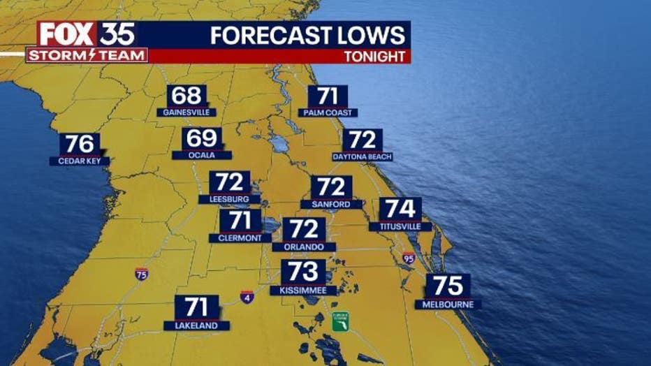
Tonight’s forecast low: 72 degrees
Tomorrow's forecast high: 91 degrees
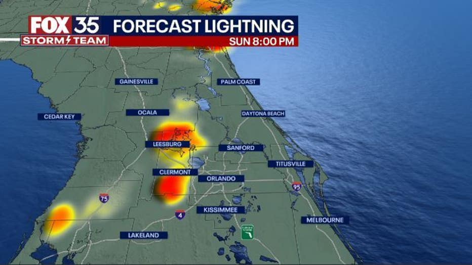
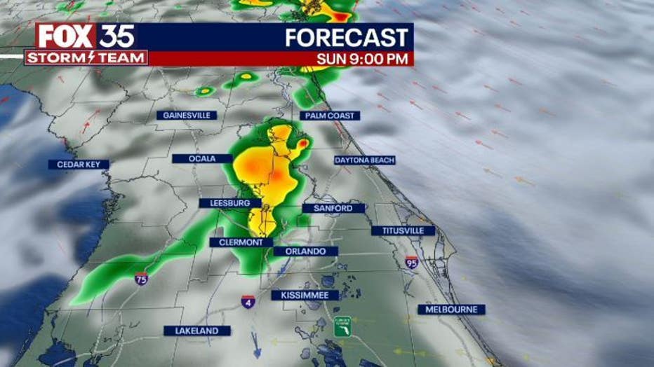
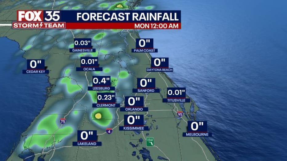
Main weather concerns: Early evening isolated thunderstorms and showers are possible with the sea breeze collision. Between 7 and 10 pm these storms will arrive in our central and northern counties. Staying primarily west of I-4 until around 8 pm. Less than an inch of rain is expected with these storms. Localized totals can be higher. The primary threats will be gusty wind, lightning, and downpours.
WHAT IS THE WEATHER FORECAST FOR WALT DISNEY WORLD, UNIVERSAL, AND SEAWORLD?
Monday, rain chances are slim, and temperatures will climb back into the low 90s. By the afternoon there is a possibility of a stray show/ thunderstorm. Make sure to stay hydrated in the parks and apply plenty of sunscreen.
WHAT IS THE WEATHER FORECAST FOR THE BEACHES IN CENTRAL FLORIDA?
Monday will be a great beach day. There will be partly cloudy skies with a possibility of a stray shower. Temperatures at the beaches will be in the mid-80s. Surf will be around 2 ft with a moderate rip current risk. Winds will be out of the southeast at 5-10 mph.
LOOKING AHEAD: Starting on Monday, the forecast returns to normal with low rain chances around 30% and temperatures in around 90 degrees. Rain chances amp up for the end of the week. For the latest, make sure to download the FOX 35 Storm Team App.