

Orlando Weather: Weekend heat peaks before a few Sunday showers
Orlando PM Weather: Our next cold front moves in Sunday
Meteorologist Laurel Blanchard breaks down what is in store for the rest of the weekend and when the next cold front moves in. get ready for a refreshing start to the week!
ORLANDO, Fla. - High pressure is still dominating our weather pattern as we kick off the weekend, and that's why temps are going to heat up. We'll be chasing records across the region with readings expected to top out in the lower 90s.
Near the beach, the sea breeze/onshore flow will help keep it a little cooler. Highs along the coast look to top out in the middle 80s. The heat will combine with lots of sunshine.
With a high UV Index, be sure you're grabbing a ball cap or sun hat if you're planning on being outdoors for a prolonged period.
It'll be muggy and mild overnight with temps holding in the upper 60s around the metro.
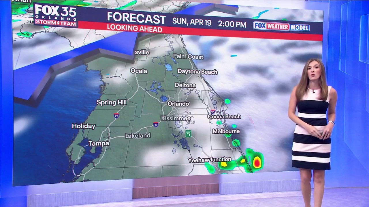
What will the weather look like tomorrow?
What to Expect:
A cold front begins to approach the area on Sunday and this will bring an increase in clouds and also the chance for a couple showers.
Chances are low, around 20% and most won't see any rain at all. The best bet for these sprinkles will be late afternoon into the evening.
Temperatures ahead of the front will still be able to spike into the upper 80s and lower 90s, which is around 10° above normal for this time of the year. Overnight, we'll hold onto the threat of a sprinkle with temps in the middle to upper 60s.
Looking ahead
What to Expect:
The cold front continues to swing through the region into Monday with the chance for a stray shower once again. This is thanks to some upper-level energy in the atmosphere as well as the wind quickly switching around from the NE.
This onshore flow will keep the threat of a couple of showers, especially near the beaches.

Tuesday looks cooler and brighter with temps only in the upper 70s and lower 80s, as high pressure settles in. It'll keep us quiet as we approach midweek, but another disturbance moves our way on Thursday.
Once again, isolated showers are on the table, but chances are looking lower at the moment. Temperatures late into next weekend stay seasonable for this time of year, topping out in the lower to middle 80s.
The Source: This story was written by FOX 35 storm team meteorologist T.J. Springer on April 18, 2026.