

Orlando weather: Hottest day of 2025 expected Monday with heat index over 110

Orlando PM Weather Forecast: July 27, 2025
FOX 35 Storm Team Meteorologist Laurel Blanchard is talks temperatures and lets us know how hot we get plus when relief from the heat could arrive.
ORLANDO, Fla. - Central Florida will continue to bake under extreme heat early this week, with Monday expected to bring the hottest temperatures of 2025 so far and heat index values soaring above 110 degrees.
What will the weather look like tonight?
What To Expect:
A couple of spotty showers throughout the rest of the afternoon and evening as temperatures sizzle. Lingering showers taper off tonight.
Mainly clear skies through the overnight as temperatures fall in the mid to upper 70s.
What will the weather look like tomorrow?
What's next:
The heat really kicks in on Monday as we will be expecting the hottest day of 2025 so far. Highs will be in the upper 90s and with the humidity it will feel upwards of 110°+.
What will the weather look like the rest of the week?
Looking ahead:
Tuesday, the heat dome that has been bringing us INTENSE heat this weekend will move off the west, and we will see the return of our daily afternoon seabreeze storms. Stay cool, stay hydrated and listen to your body! Heat exhaustion can set in quickly, so take it easy!
Rain chances stay low on Monday but our typical afternoon sea breeze storms return to the forecast on Tuesday and Wednesday.
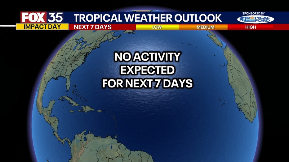
Tracking the Tropics
Looking ahead:
No activity for the next 7 days, but the tropics look to wake up more in August. This is a great time to make sure your home is prepared, and your emergency kit is stocked before the season picks up!
FOX 35 Storm Tracker Radar and Live Weather Cameras
Track live when storms move across your area using the FOX 35 Storm Tracker Radar below. You can also watch as heavy rain moves across Central Florida on our Live Weather Cameras' page here.

More radar maps from FOX 35 Storm Tracker Radar
- Brevard County
- Flagler County
- Lake County
- Marion County
- Osceola County
- Orange County
- Polk County
- Seminole County
- Sumter County
- Volusia County
- U.S./National Radar
The Source: This story was written based off information shared by the FOX 35 Storm Team on July 27, 2025.