

Extreme heat wave continues: Heat index values top 110 degrees across Central Florida
ORLANDO, Fla. - Hot. That's what it'll feel like for the remainder of the weekend as the heat lingers.
Here's why:
This dominant ridge of high pressure will hold through the weekend – contributing to an extreme heat risk across Central Florida this weekend.
Heat indices will be in the upper 100s and low 110s, though some isolated spots may be able to sneak up even hotter than that.
Heat advisory in effect until 8 p.m.
Heat Advisories are in effect through 8 p.m., Saturday evening, and we'll likely see more get issued on Sunday.
Meteorologist Tip: Be sure to drink plenty of water and not overdo it outside.
Rain chances decrease
With this area of high pressure in control, drier air will try and stifle our storm chances this weekend into next. We'll have to depend on the sea breezes to try to get things going, which still could fire up a few showers and storms.
Rain chances look to hold around 20% Saturday and Sunday, with this trend holding into next week. The chance for showers and storms starts to come back up later in the workweek as this ridge starts to breakdown.
Scattered showers and storms are on the docket once again, by Wednesday and Thursday of next week.
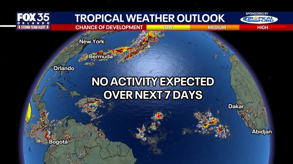
Tracking the tropics
FOX 35 was monitoring two waves in the Atlantic, before they were sheared away from strong winds aloft or dissolved due to the dry Saharan dust.
The Atlantic is now quiet and nothing is out looked for the next seven days.
What's next:
Other waves are off the coast of Africa, which FOX 35 will be monitoring late this weekend and early next week.
Furthermore, in the Pacific, Category 1 Hurricane Lala is inching towards Hawaii, and could make landfall tonight.
A hurricane has never made direct landfall on Maui or the Big Island.
The Source: Information in this story was gathered from FOX 35's Laurel Blanchard.