

NHC: 50% chance of system in mid-Atlantic becoming a storm
ORLANDO, Fla. - The National Hurricane Center has turned its attention to the Central Atlantic.
A newly formed wave of low pressure, Invest 92L, continues churning over the open ocean on Friday afternoon. The broad area of low pressure is located several hundred miles southeast of Bermuda and is producing a broad area of showers, thunderstorms and gusty winds.
Additional development of this system is possible and a subtropical depression could form tonight or on Saturday.
The National Hurricane Center gives the system a 50% chance of development over the next 2 to 5 days.
TRACK THE TROPICS: Visit the FOX 35 Orlando Hurricane Center for the latest in the tropics, including daily updates and weather alerts.
The movement will be towards the North at 10-15 mph, keeping the low away from land as it tracks into the Northern Atlantic. Development is not expected past this weekend due to the system moving into an unfavorable environment for intensification.
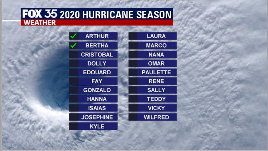
If "Invest 92L" becomes named, it will be "Cristobal" and the 3rd named system before the official June 1 start of the 2020 Atlantic Hurricane Season.
The tropics could prove to be very active this year and residents should prepare by securing the necessary supplies and remain vigilant over the next 6 months.
The 2020 Atlantic Hurricane Season runs from June 1st to November 30th.