

It's That Foggy Time Of Year
Orlando, Fl - As another cold front blows across the state today we find more chilly air on the way. However, this time we have a wind blowing in from the Gulf of Mexico which has created foggy conditions. The water temperatures across the Gulf of Mexico are still in the upper 70's which is typical for November and December. It is that contrast in the air temperature (chilly) to the water temperature (warm) that sets the stage for some foggy nights.
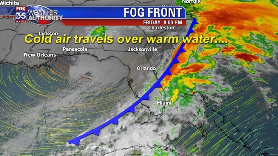
This type of a setup does not produce dense fog...but rather wide-spread fog which can lead to visibilities to 2-4 miles.
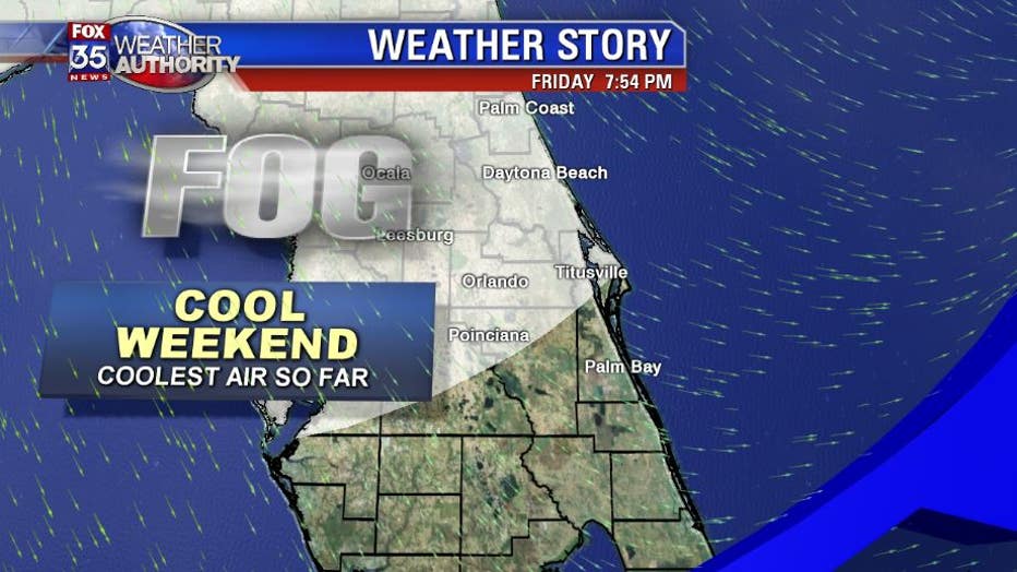
The thickest fog that we have to deal with is called "radiation fog". This type of fog will form when the nights are still and the skies are clear. The warmth of the day will radiate back into space as the night progresses and allows the temperature to drop off. If there is enough ground moisture in place, and the humidity is high enough, this drop in temperature will condense out the moisture in the atmosphere and lead thick, dense fog.
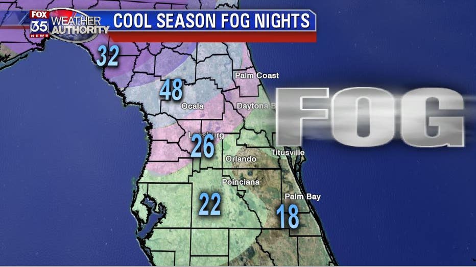
During the past 30 years I have found the foggiest "zone" across Central Florida is the northern zone. The Ocala, Gainesville area sits in the perfect position if you want alot of fog. The northen zone can get colder during the nights, but still pick up enough ground moisture due to it's lattitude on the Florida peninsula. This combination of cool nights, radiation, and high humidity leads to many more foggy nights.
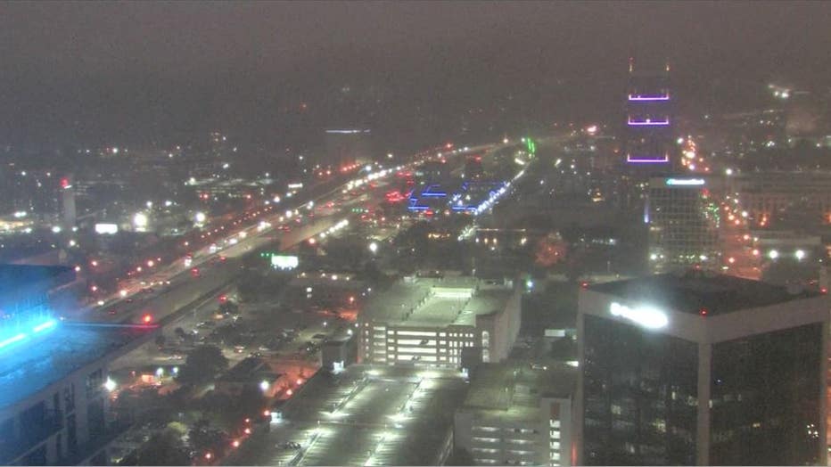
Remember when traveling during our cool season to always use your low beam headlights and to slow down when you encounter our thick Florida fog. GR