

Tropical Storm Edouard makes landfall near Texas-Louisiana border
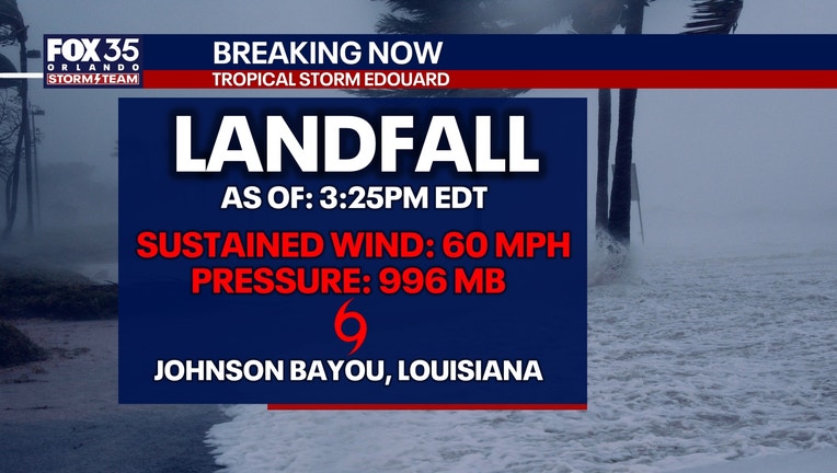
Tropical Storm Edouard made landfall Tuesday afternoon near Johnson Bayou, Louisiana, with maximum sustained winds of 60 mph, according to the National Hurricane Center.
The storm was centered about 15 miles south-southeast of Port Arthur, Texas, and is expected to weaken quickly as it moves inland.
Tracking Edouard: Heavy rain to hit Texas, Louisiana
Forecasters warned it could bring 3 to 6 inches of rain across parts of coastal and east-central Texas, with isolated totals up to 9 inches, raising the risk of flash and river flooding. Southwestern Louisiana is expected to receive lower rainfall amounts.
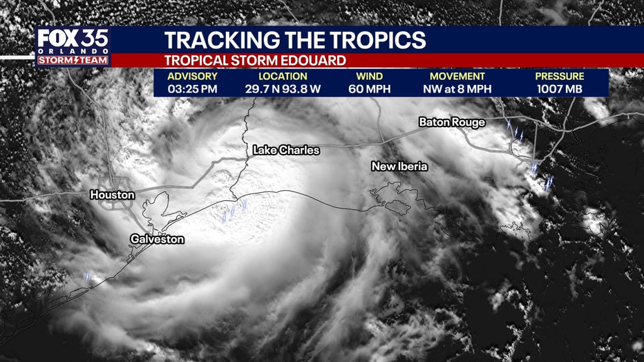
Texas Gov. Greg Abbott said flooding is the state's primary concern, while emergency crews cleared dry vegetation ahead of the storm to reduce wildfire risks from lightning strikes.
Along the Louisiana coast, residents reported increasing winds and periods of rain but no major impacts by Tuesday morning.
Rain Forecast
"Edouard is expected to produce rainfall totals of 3 to 6 inches with maximum totals up to 9 inches for parts of the Upper Texas Coast inland through east-central Texas, with the potential for 2
to 4 inches in far southwest Louisiana. This rainfall is likely to produce flash flooding, especially in low-lying and urban areas. River flooding may also be possible," the NHC said in its latest update.
Florida impacts
Edouard will have no direct impact on Florida.
The Source: This latest update on Tropical Storm Edouard is from the National Hurricane Center's 2 p.m. bulletin, which includes the latest position, movement, sustained wind speeds, and forecast for the tropical system.