

Strong storms possible followed by another big cold front

Weather Forecast: Jan. 19, 2022
FOX 35 Storm Team Meteorologist Brooks Garner has the latest on the weather in Central Florida.
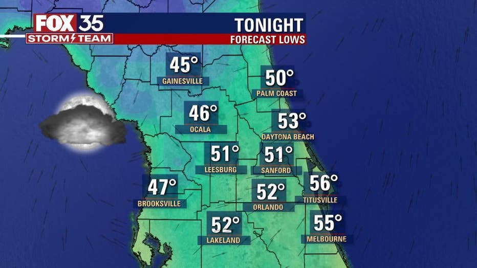
ORLANDO, Fla. - After yet another chilly start to the day, Wednesday turned out to be delightful in Central Florida.
Highs reached into the 70s in all locations under a canopy of mixed skies. Tonight, expect some scattered clouds and lows falling to chilly levels but not as cold as it's been.
DOWNLOAD: FOX 35 NEWS APP | FOX 35 STORM TEAM WEATHER APP
SUBSCRIBE: FOX 35 NEWSLETTER | FOX 35 Orlando on YouTube
FOLLOW: Facebook | Instagram | Twitter
Warmer air will move into the area Thursday and Friday with both days featuring mid-70s for the p.m. hours.
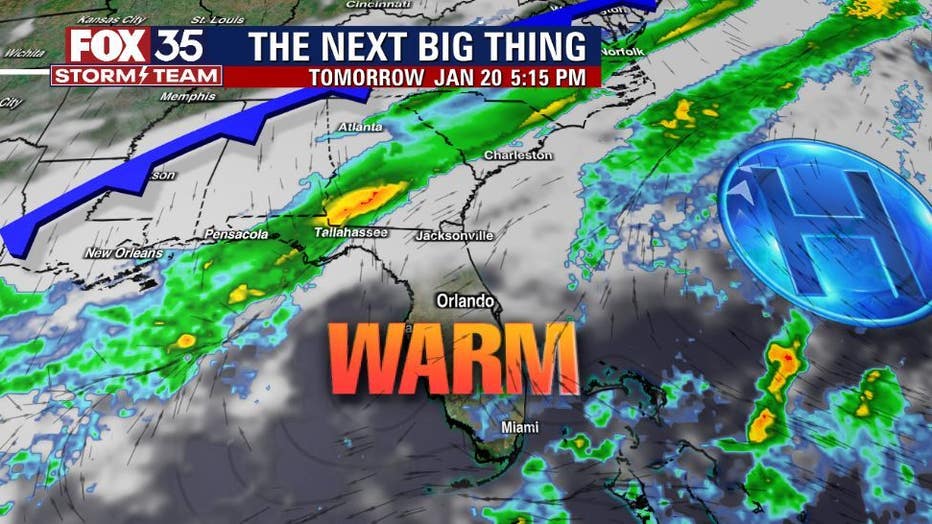
Another cold front will advance into the Florida Peninsula late week and depending on the amount of energy present, stronger storms will be possible Friday afternoon through the evening. Central Florida is highlighted with a MARGINAL RISK of severe storms south of Orlando during this time. The risk area could get bumped even farther south…something the FOX 35 STORM TEAM is watching closely.
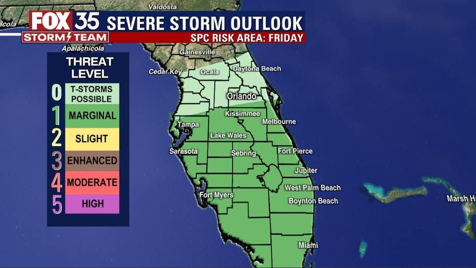
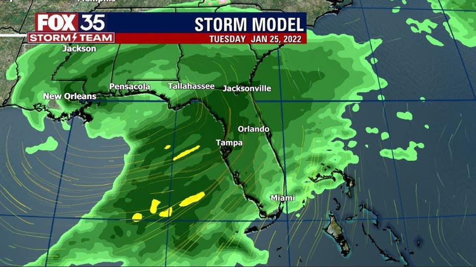
Main threats will be confined to a damaging wind gust threat and perhaps some hail and heavy downpours. Looking ahead at our future, yet another strong front approaches the area by next Tuesday.
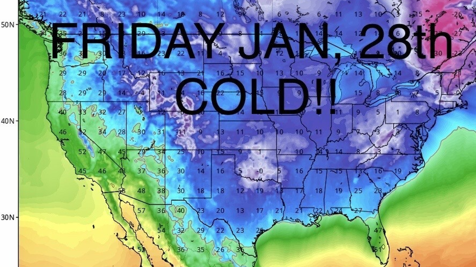
This system looks rather energetic and could enhance strong thunderstorm potential for the area during that time. This could be one heck of a chill behind this cold front with very low temps spreading into the eastern sections of the U.S. – including Florida!
Click here for the most accurate Central Florida weather updates, live radar, and weather forecast for Orlando.
Watch FOX 35 News for the latest launch updates.