

Photos and videos: Strong storms moving through Central Florida

Thunderstorms, Hail Across Central Fla. | FOX 35 FULL Coverage
FOX 35 Storm Team Meteorologist TJ Springer sat with Garrett Wymer live to break down the severe thunderstorms in Seminole County.
ORLANDO, Fla. -
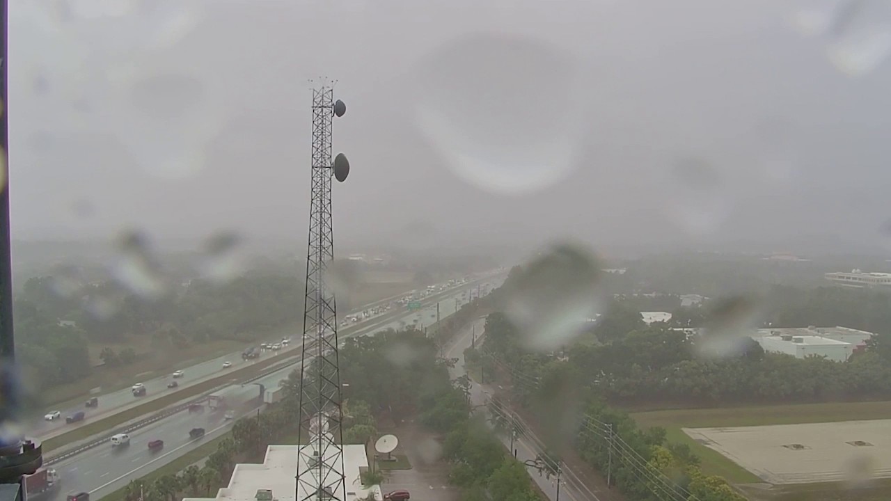
Heavy rain and strong storms moved through Central Florida Tuesday afternoon, causing hail in some cities.
Seminole County and Orange County were initially under a severe thunderstorm warning until 12:45 p.m. The warning was extended to 2:15 p.m., to include southeastern Seminole County, northwestern Brevard County and southeastern Orange County.
Severe Weather, rain, hail in Seminole, Orange counties
A storm moved through Seminole and Orange counties on May 12, 2026 at 10 MPH, bringing heavy rain and hail.
Timeline:
Just before noon, the storm was active in Seminole and Orange counties, bringing heavy rain and hail. As the severe weather storm alert was extended through 2:15 p.m., the storm moved toward parts of the space coast.
Parts of Lake Mary and Oviedo especially saw heavy rain and hail.
See the photos: Hail in Lake Mary, Oviedo
Along with the heavy rain, hail was reported in the Lake Mary area.
See the photos: Heavy rain in Oviedo
A storm moved from Oviedo toward Chuluota with blinding rain, hail and the potential for wind gusts over 40 to 50 MPH.

Heavy thunderstorms in Oviedo on May 12, 2026. (Source: Noah Bergren)
The Source: This story was written with information from the FOX 35 Storm Team.