

Orlando weather: Unseasonably warm temperatures for Central Florida
Orlando Weather Forecast: Near 90 then 30s crash in for temps
FOX 35 Storm Team Senior Meteorologist Noah Bergren is tracking major weather changes when record heat moves in and the potential for freeze warnings again early next week.
ORLANDO, Fla. - We can expect mostly clear skies to stick around overnight.
Temperatures will fall into the low to mid 50s for Wednesday morning's lows.
Unseasonably warm weather
What To Expect:
As high pressure builds in, this will not only help keep us dry but will help to crank up our temperatures too.
Highs will soar into the low 80s on Wednesday before approaching the mid 80s through the end of the week.


Our stretch of unseasonably warm weather really takes off for the rest of this week.

Friday's high of 86 degrees and Saturday's high of 87 will be near record levels and well above normal.


For perspective, Orlando's average high for this time of year is around 75.

Changes arrive late over the weekend as a fading front will sweep into the region looking ahead to Sunday.

This is when our next round of much-needed rain arrives with a 30% chance of a few showers. Wind will be gusty ahead of the front.

Looking Ahead:
Temperatures will be notably cooler on Monday of next week thanks to the cold front.

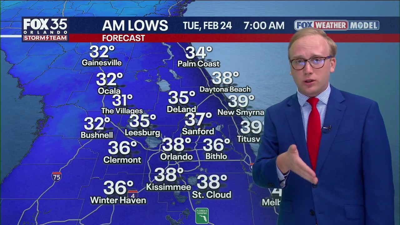
Morning lows will drop into the 30s and 40s by next Tuesday morning with wind chills in the 20s for some places like Ocala, Gainesville, and Palm Coast.
The Source: This story was written with information from the FOX 35 Storm Team.