

Orlando weather: Central Florida dries out with seasonal highs, before storm chances increase Sunday
Orlando Weather Forecast: Tracking storms
More storms are expected to move across Orlando and Central Florida this weekend. FOX 35's Noah Bergren takes a look at the forecast.
ORLANDO, Fla. - Showers and thunderstorms will wind down across Central Florida late Friday night, setting up a mostly quiet start to the weekend before rain chances increase Sunday and Monday.
Any lingering storms should end by about 8 p.m. Friday. Overnight temperatures will fall into the upper 60s, with humid conditions continuing.
Saturday starts quieter
What's next:
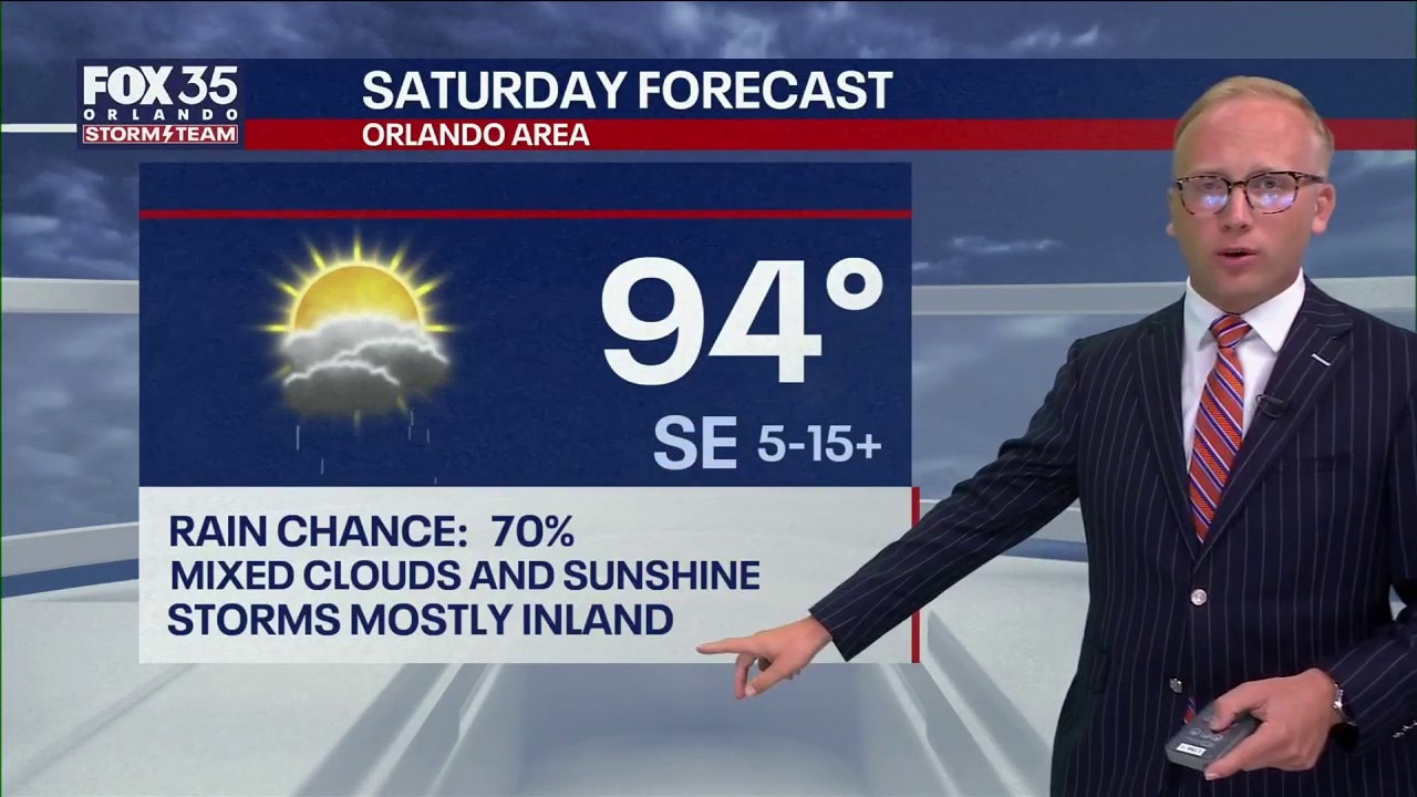
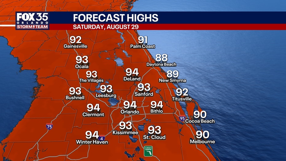
Saturday is expected to bring another round of scattered afternoon showers and thunderstorms, but widespread rain is not expected.
High temperatures will reach the lower 90s, with humidity making it feel closer to the lower 100s.
Rain chances will increase significantly Sunday and Monday, when more widespread afternoon showers and thunderstorms are expected.
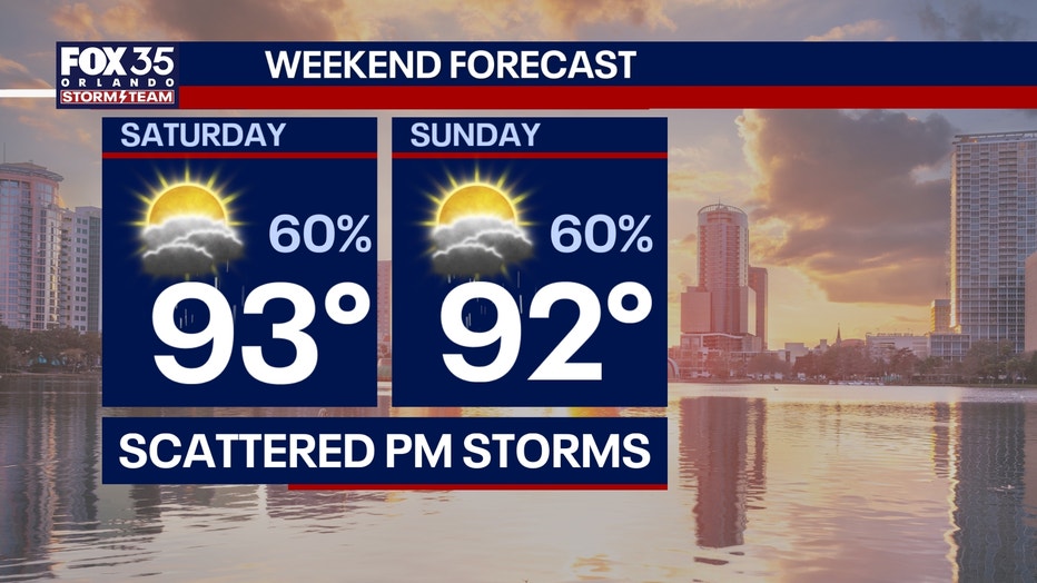
Storms could begin developing anytime after noon, bringing periods of heavy rain and lightning. The risk of severe weather remains low, although an isolated storm could become strong.

Daytona race forecast
The forecast remains relatively favorable for Saturday night's Coke Zero Sugar 400 at Daytona International Speedway.
Showers and thunderstorms are expected to move inland and away from the speedway during the afternoon and evening, improving the chances for a dry race.
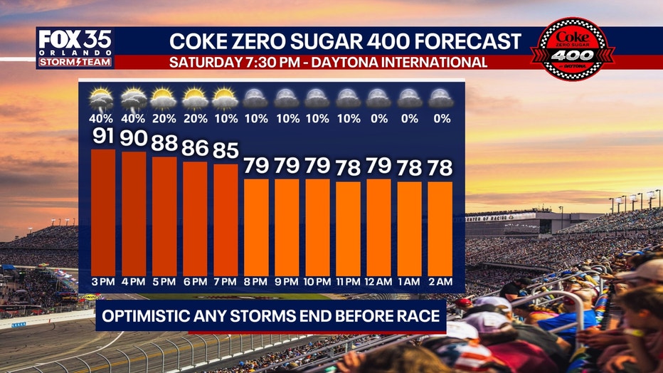
Fans should still be prepared for possible showers or storms earlier on Saturday.
Tracking the remnants of Dolly
Tracking the Tropics:
Tropical Storm Dolly lost its tropical characteristics Friday, but its remnants will continue moving west and will be monitored into next week.
There is a small chance the remnants could reorganize if they remain intact while moving toward the southwestern Atlantic and potentially the southern Gulf during the middle to latter part of next week.
For now, Dolly is no longer an organized tropical storm.
System to bring storms to northern Gulf
Numerous showers and thunderstorms were affecting the northern Gulf on Friday, particularly areas north of the central Gulf.
The storms were associated with an area of unsettled weather extending across the region.
The National Hurricane Center expects the system to linger near the northern Gulf during the next several days, bringing periods of thunderstorms through the weekend and potentially into early next week.
While the system is not described as a tropical cyclone, individual thunderstorms could produce gusty winds and locally rough seas.
Outside of the thunderstorms, conditions across much of the Gulf are expected to remain relatively calm.
The Source: The information in this story was provided by the FOX 35 Storm Team.