

Orlando weather forecast: Central Florida storms chances increase over the week

Weather Forecast: Sept. 6, 2022
Orlando and Central Florida will see increased chances for numerous afternoon and evening storms as we move through the week.
ORLANDO, Fla. - This week, Orlando and Central Florida will see increased chances for afternoon and evening storms.
Tonight's low: 76 degrees | Tomorrow's high: 94 degrees | Rain: 40% chance of storms
Main weather concerns:
It was another scorcher on Tuesday afternoon, with highs across the interior soaring into the mid and upper-90s. For Wednesday, isolated storms will once again be possible beginning around 2-3 p.m. along the east coast sea breeze, then move across the interior through this evening, chances at 20%-40%. Rain chances will be lowest at the coast, around 10-20% or less.
BEACHES:
There will be low rain chances at the beaches in the afternoon and evening. There is a moderate risk for rip currents, make sure to swim near an open lifeguard stand. The UV Index will be elevated today with a burn time of 20+ minutes so don't forget to reapply sunscreen.
THEME PARKS:
Hot and humid conditions will continue today with feels like temperatures in the triple digits. Stay hydrated and take breaks inside in the cool. The best chance for rain is between 3 pm-7 pm. Heavy rain and lightning will be possible.
EXTENDED OUTLOOK:
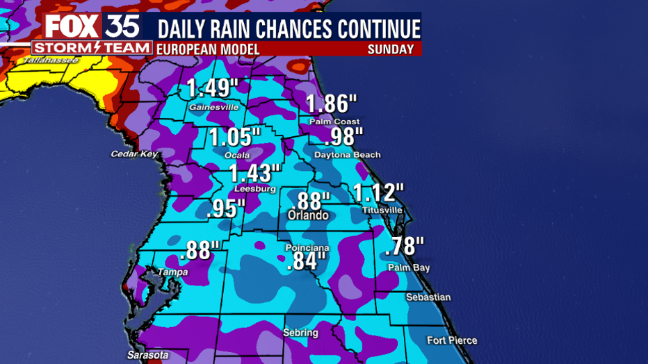
Rain chances stay at 30%-40% today but will rise to start on Wednesday and continue through the weekend. Depend on the FOX 35 Storm Team and download the FOX 35 Storm Team App for the latest weather updates!
TROPICS:
Hurricane Danielle is on a slow decline as it moves northeastward over the open North Atlantic. Tropical Storm Earl is moving northwestward this morning and is forecast to become a hurricane later today or tomorrow. A tropical wave located southeast of the Cabo Verde Islands has a 60% chance of becoming a tropical depression later this week.
None of these systems pose a threat to Florida. Remember to stay alert as we approach the peak of the hurricane season on September 10th. Track the tropics in real-time on the FOX 35 Storm Team weather app.