

Orlando weather: Daytona 500 forecast; tornado watch; strong thunderstorm threat, timeline, impacts
Orlando Weather: Daytona 500 Forecast
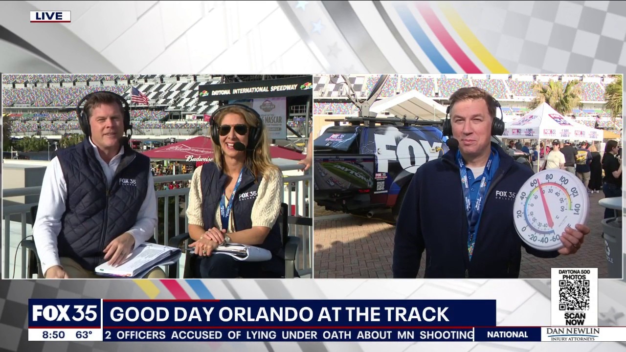
FOX 35 provides the Daytona 500 weather forecast from the International Speedway.
ORLANDO, Fla. - If you're headed to the Daytona 500 at Daytona International Speedway, it's going to be hot and windy, but, most importantly, the potential for rain should stay away long enough for the race to go on, according to the FOX 35 Storm Team. However, Sunday night is when the threat of strong, severe thunderstorms arrives.
For the rest of Orlando and Central Florida, expect highs in the 80s across much of the area. Winds will be south-southwest between 23-25 mph. As evening approaches, the threat for rain and strong thunderstorms increases. Here is the latest forecast, timeline, and impacts.
Tornado Watch Issued for Florida, Georgia
A tornado watch has been issued until 8 p.m. for several counties in Northern and Central Florida, including parts of Alachua, Flagler, Marion, and Gilchrist:
- Baker
- Clay
- Duval
- Flagler
- Nassau
- Putnam
- St. Johns
- Alachua
- Bradford
- Columbia
- Gilchrist
- Hamilton
- Marion
- Suwannee
- Union
Daytona 500 Forecast
It appears that the rain will stay away in time for the Daytona 500 at Daytona International Speedway, however, Sunday night, strong to severe storms may move into Orlando and Central Florida. Highs are forecast to be in the 80s.
Timeline: When will the showers and thunderstorms arrive in Orlando?
The heaviest rain and storms don't look to arrive in Central Florida until just after sunset. As this cold front swings in, we'll have enough ingredients in the atmosphere to ignite the threat of a few severe storms. The timeline for the strongest storms to arrive will be between 7 p.m. and midnight. The Orlando metro is under a Level 1 risk for severe thunderstorms, while areas north of Orlando are under a Level 2 risk. Those south of Orlando are under a marginal risk.
Biggest weather threats: Winds, rain, and lightning
The main weather threats will be strong, damaging winds, heavy rain, and lightning. There is a small risk of a tornado or two forming, according to the National Weather Service. Expect gusty winds between 45-55 mph with gusts up to 60 mph possible.
Presidents' Day Forecast
A slim chance of showers holds as we kick off the workweek but most of us will be drying out for President's Day. We'll have onshore flow as well as a bit of upstairs energy that could help keep a spotty shower in the forecast for the afternoon. If you're off work or school, expect temps to be a bit cooler, topping out in the lower to middle 70s.
The cool-down is short-lived though. A ridge of high pressure starts to build in and that makes for plenty of sunshine and more warmth. Afternoon readings surge up into the lower to even middle 80s middle to late week, which is nearly 10° above average for this time of year. The warming trend holds into the start of next weekend with highs in the middle 80s under a nice amount of sunshine!
The Source: The information is from the FOX 35 Storm Team and the National Weather Service.