

Orlando weather: Mostly clear night, then warming trend before another cold snap
Orlando Weather Forecast: Tracking record warmth on the way near 90
FOX 35 Storm Team Senior Meteorologist Noah Bergren is tracking major warmth for Friday and Saturday and a Storm Team Alert for major cold next week.
ORLANDO, Fla. - Central Florida will see mostly clear skies this evening, with temperatures falling into the 60s and a light southwest breeze.
Mostly sunny and pleasant conditions are expected through Saturday, with steadily warming temperatures. Dry weather will continue through Saturday night.
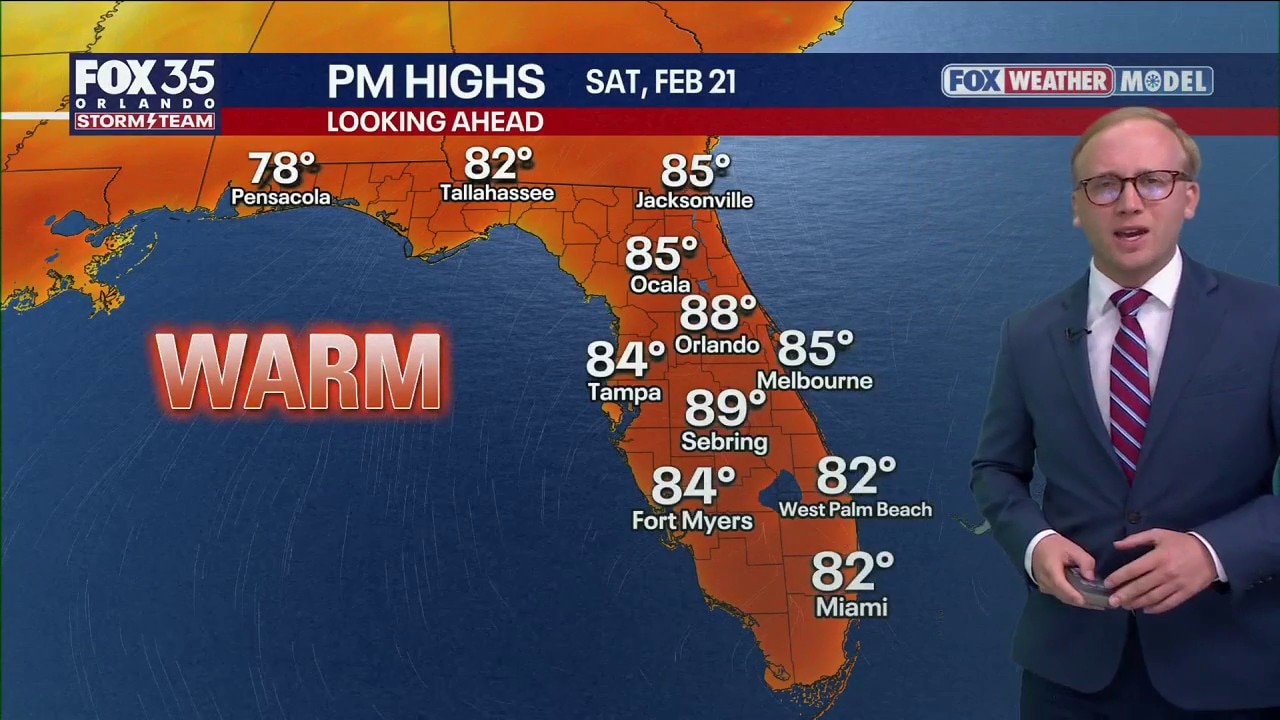
Record heat possible this weekend
What To Expect:
Record heat is possible Friday and Saturday, especially inland away from the beaches, where high temperatures are expected to reach the upper 80s. In Orlando, the record high for Friday is 89 degrees, set in 1988. The record for Saturday is 88 degrees, tied in 1989, 1961, 1929, 1918 and 1917.
The unseasonable warmth is being driven by a dome of high pressure forming over the Caribbean, allowing warm, dry air to settle over Florida and push temperatures well above average under abundant sunshine.
A few showers are possible around midday Sunday, but widespread rainfall is not expected. Conditions will turn windy and much cooler Sunday afternoon into Monday.
The combination of low humidity and gusty winds is expected to create a high brush fire threat Sunday afternoon and Monday.
Chilly weather on the way
Looking ahead to early next week, freeze warnings may be issued for parts of north-central Florida, including areas such as Ocala, Gainesville and Palm Coast, by Tuesday morning.
A cold front moves in on Sunday with a few rain showers.

Winds drop temps into territory we're all too familiar with, with lows in the 30s and highs in the 60s.

At its coldest Tuesday morning, the busy northern wind should help keep frost away.

A light freeze is possible in north Florida along I-10 with lows around 31.

In the Orlando DMA, we'll see the mid-30s in Ocala, upper 30s to near 40 in Orlando and mid-40s at the coast. It's short-lived because we will rebound into the 70s late next week.

The Source: This story was written with information from the FOX 35 Storm Team.